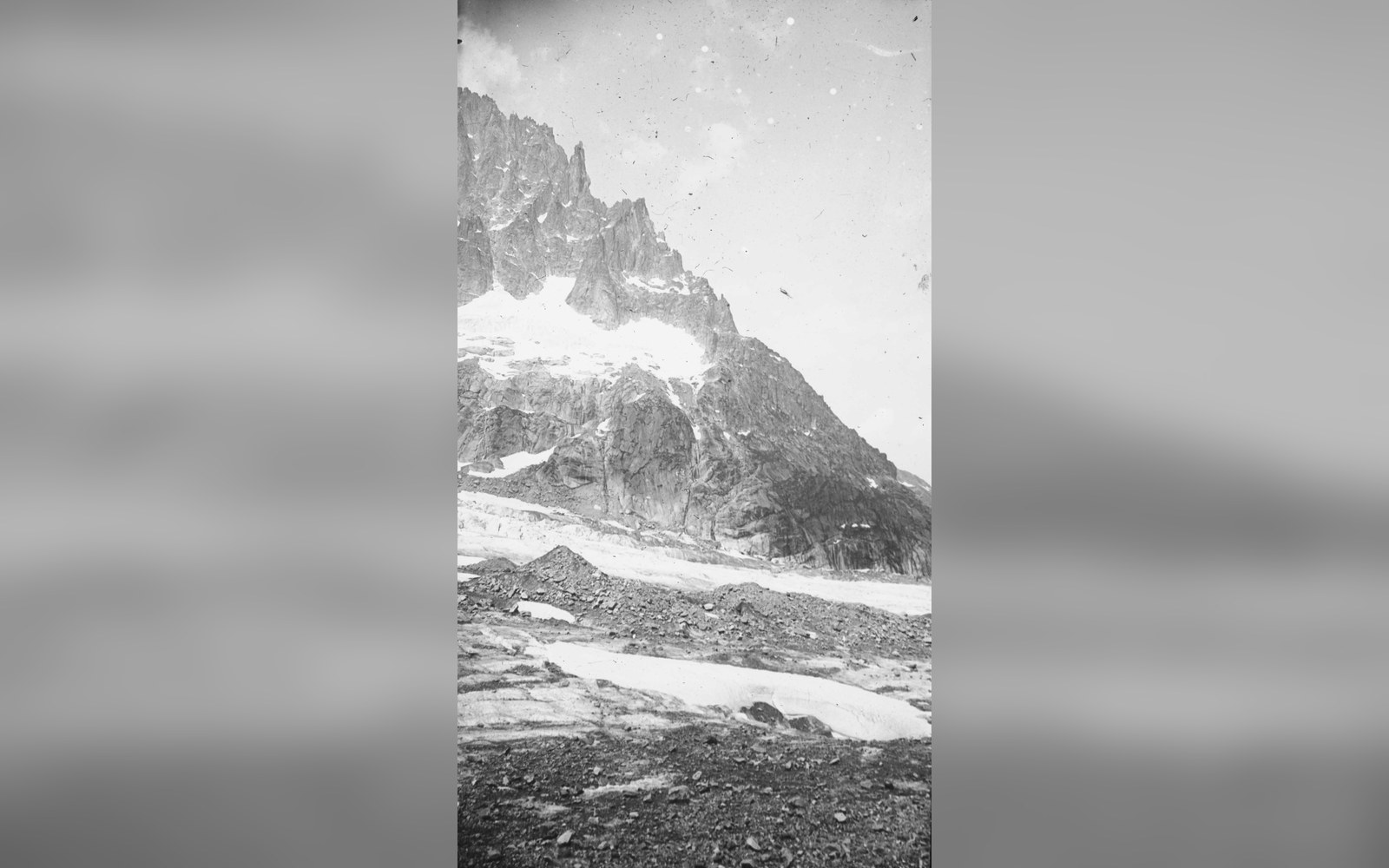
The Mer de Glace is read as a surface that carries its own measurements.
Photo: France - Alpes - Rhône-Alpes - Haute-Savoie - L’aiguille de la République vu depuis la Mer de Glace (MédiHAL 1270029) · Wikimedia Commons
The Mer de Glace and Its Marked Losses
A glacier as ledger
The Mer de Glace, at roughly 7 kilometres long and descending from the flanks of Mont Blanc to a terminus above Chamonix, is the largest glacier in France by surface area — approximately 30 square kilometres according to Institut Géographique National (IGN) measurement. What makes it unusual among Alpine glaciers is not its size but its documentation: it has been observed, sketched, photographed and surveyed from fixed points for longer than almost any comparable ice mass in Europe, and that record is precise enough to read like a ledger of annual accounts.
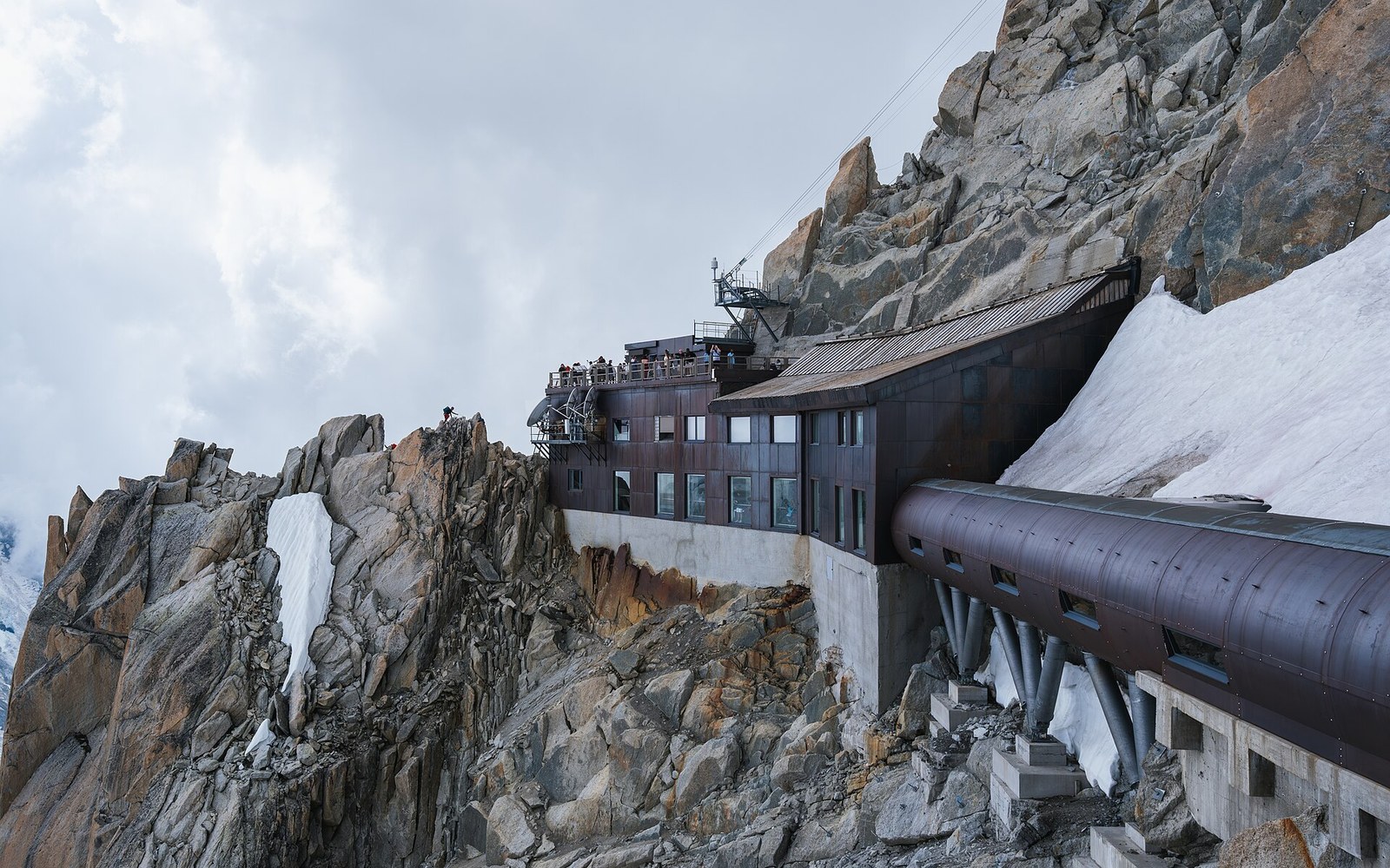
The summit station is cut into the pinnacle itself, at 3,842 m (IGN).
Photo: Aiguille du Midi summit station cliffside architecture, Chamonix, Haute-Savoie · Wikimedia Commons
The observation point that anchors the record is the Montenvers station, reached by the rack-and-pinion railway opened in 1909. The railway was built partly as a tourist convenience and partly as a scientific platform: from the terrace at Montenvers, at roughly 1,913 metres, observers have had an unobstructed view of the glacier's surface and its lateral moraines — the ridges of displaced rock that mark the ice's former margins — for more than a century. The moraines themselves are the glacier's own archive. They record former thickness in metres of bare rock, the sequential high-water marks of ice that has since withdrawn.
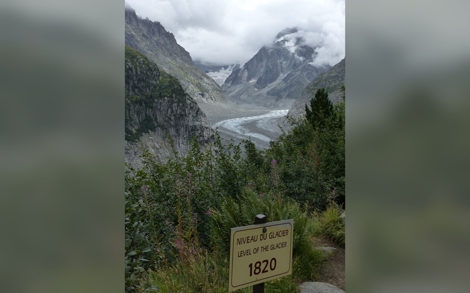
Painted markers on the rock record where the ice surface once stood.
Photo: Mer de Glace mit Marke 1820 · Wikimedia Commons
The CNRS Laboratoire de Glaciologie et Géophysique de l'Environnement (LGGE), based in Grenoble, has maintained systematic annual measurement campaigns on the Mer de Glace since the twentieth century, with instrumental records extending into the nineteenth. Their published figures track cumulative length retreat and surface lowering in absolute terms. By the early 2020s, the glacier's terminus had retreated more than 2 kilometres from where it stood in 1850, and its surface at the level of Montenvers had dropped by well over 100 metres — losses recorded not by inference but by repeated survey from fixed benchmarks, reference points anchored in the rock from which observers can measure vertically down to the ice surface each season.
The physical evidence is direct enough that it requires no interpretation. Metal plaques fixed to the rock face below Montenvers mark the glacier's surface level at successive dates — 1990, 2000, 2010 and beyond — stacked vertically like flood marks on a bridge pier. The interval between marks is not uniform: the rate of surface lowering has accelerated, and the spacing between more recent date plaques is greater than the spacing between older ones. The plaques are not estimates. Each corresponds to a surveyed position in the LGGE record.
Length retreat is measured annually from the terminus, defined as the lowest continuous margin of ice. The method has changed over time — early surveys used triangulation from fixed stations; more recent campaigns combine GPS ground measurement with aerial and satellite photogrammetry — but the methodology is consistent enough that the long time series is treated as a single coherent dataset ↗ in peer-reviewed glaciological literature. Thickness change is separately tracked by stake networks: metal poles drilled into the ice at defined locations, whose exposure increases each year as the surrounding surface lowers relative to the fixed stake.
The summit station is cut into the pinnacle itself, at 3,842 m (IGN).
Photo: Aiguille du Midi summit station cliffside architecture, Chamonix, Haute-Savoie · Wikimedia Commons
The Montenvers railway continues to operate as the most direct public access to the observation terrace. A metal staircase — extended progressively as the glacier surface dropped — now descends from the terrace to a viewing level near the ice; the structure is itself a physical index of cumulative loss, its total height a function of how far the glacier has sunk since the station was built. The rack railway, operated by the Compagnie du Mont-Blanc, runs from Chamonix's main station and was built to metre gauge (1,000 millimetres).
What the Mer de Glace yields, read in this way, is a documented physical record rather than a projection. The ledger exists in the rock, in the plaques, in the photographic archive held at Chamonix's Musée Alpin, in the annual reports of the LGGE and in the lengthening staircase. Each element records the same number, measured differently, arriving at the same result each time.
Chronology
- 1909Montenvers rack-and-pinion railway opens
- 1850 (benchmark)reference point for total length retreat calculations
- Mid-20th century:systematic LGGE measurement campaigns established
- By early 2020sterminus retreat exceeds 2 km from 1850 position; surface at Montenvers level down more than 100 metres