Section 1 of 7
Maurienne
The floor of the Arc, the towns strung along it, and the industry the river's gradient paid for.
-
Start here
The Staircase the Arc Cut
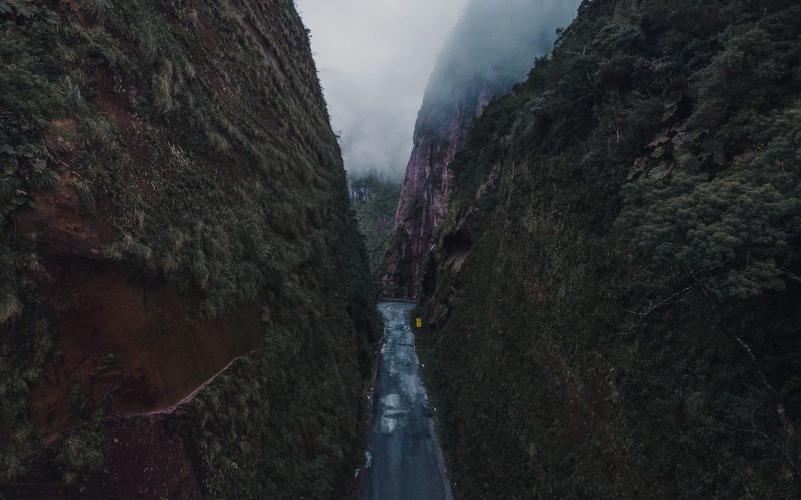
A dense explainer of the Maurienne's physical geography — why the valley is the deepest in the Alps, how the Arc drops in steps from the Iseran to the confluence with the Isère, and what that gradient meant for every road and rail line laid along it. Anchored in IGN survey figures and the valley's documented dimensions.
-
Maurienne
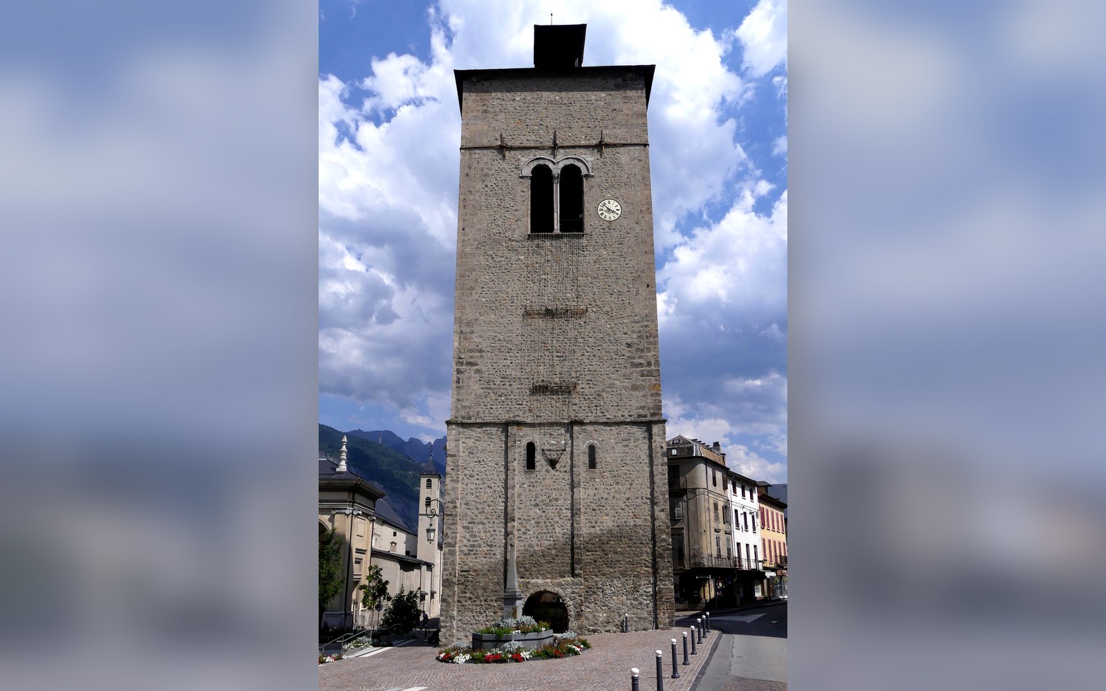
Saint-Jean-de-Maurienne and Its Cathedral
The valley's ancient capital carries its episcopal past in stone — and its rail junction in concrete.
Maurienne
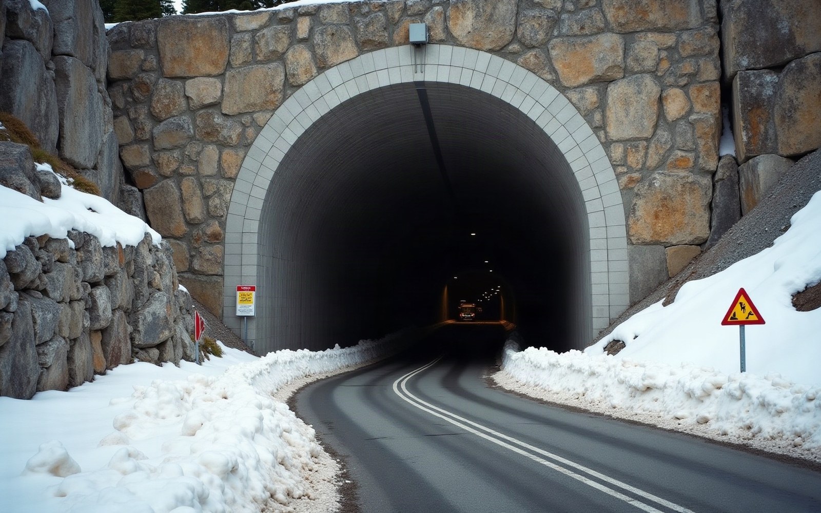
Modane Twice Over: Rail 1871, Road 1980
Two bores through the same massif, a century apart — each the longest of its kind when it opened, each reshaping the Maurienne's relationship with the peninsula beyond.
Maurienne
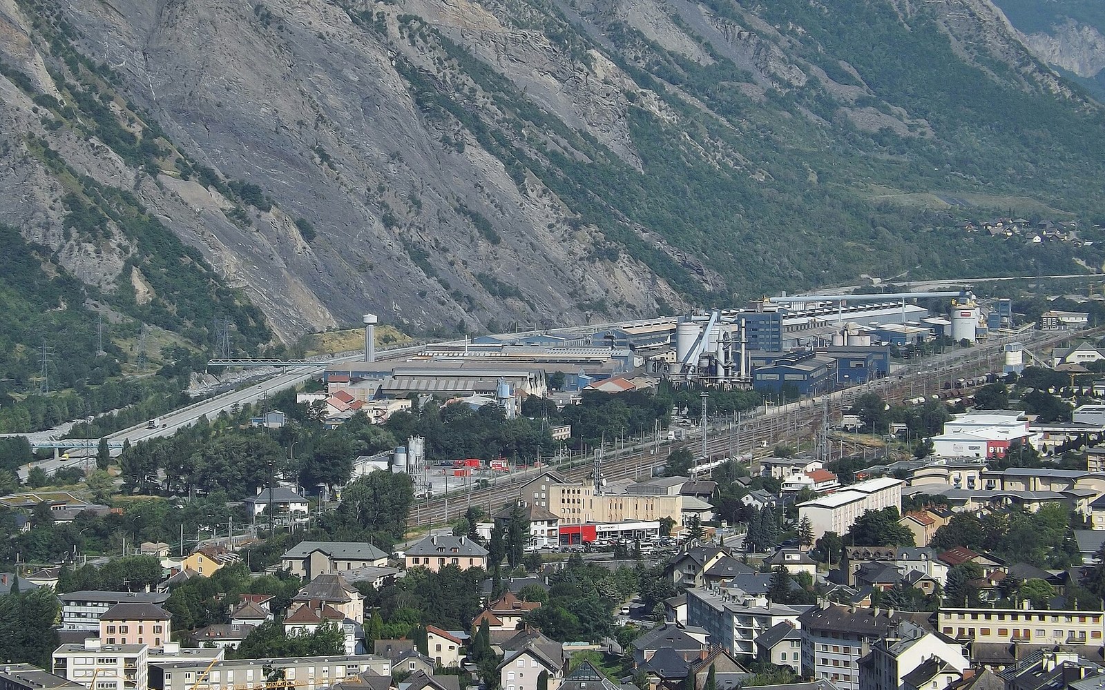
Why the Smelters Came to the Valley Floor
The Arc did not invite industry.
Maurienne
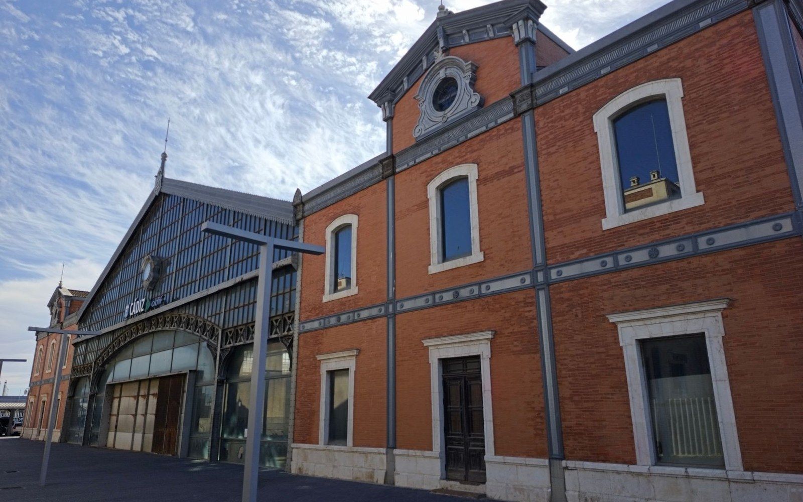
Modane: Where the Train Changes Country
A station town at the mouth of a tunnel, where rail traffic paused to change its character before crossing into Italy.
Located on the map
- 1Saint-Jean-de-MaurienneMaurienne556 m
- 2ModaneMaurienne1,057 m
Altitudes IGN. Numbers correspond to the pins.
Where the section sits on the ground, at true coordinates.
Geometry: IGN / project map kit