Villages
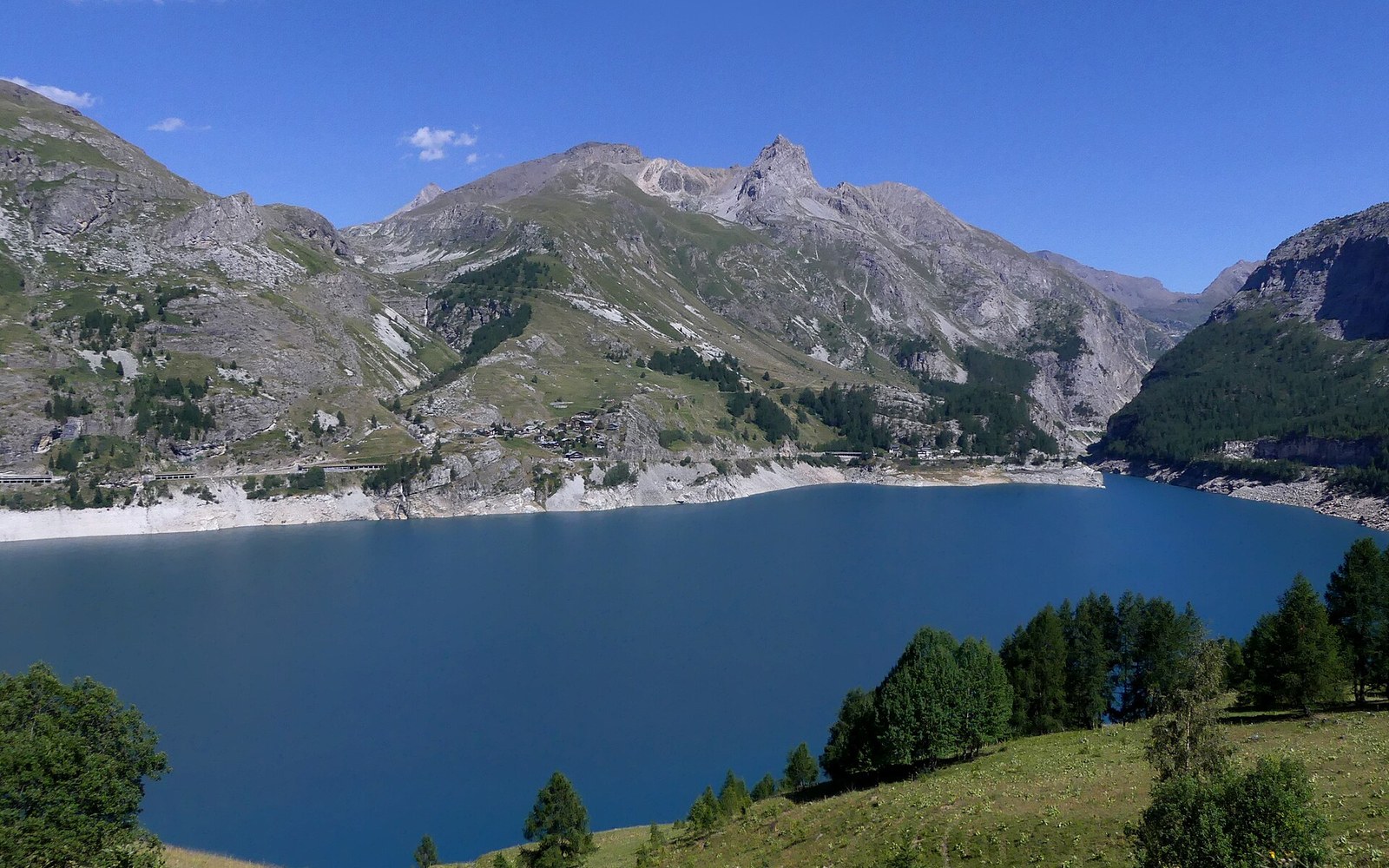
In 1952 the Water Came Up Over the Church
The flooding of the old village of Tignes by the Chevril dam reservoir — the decision, the 1952 date, the displacement of residents and the construction of the new resort.
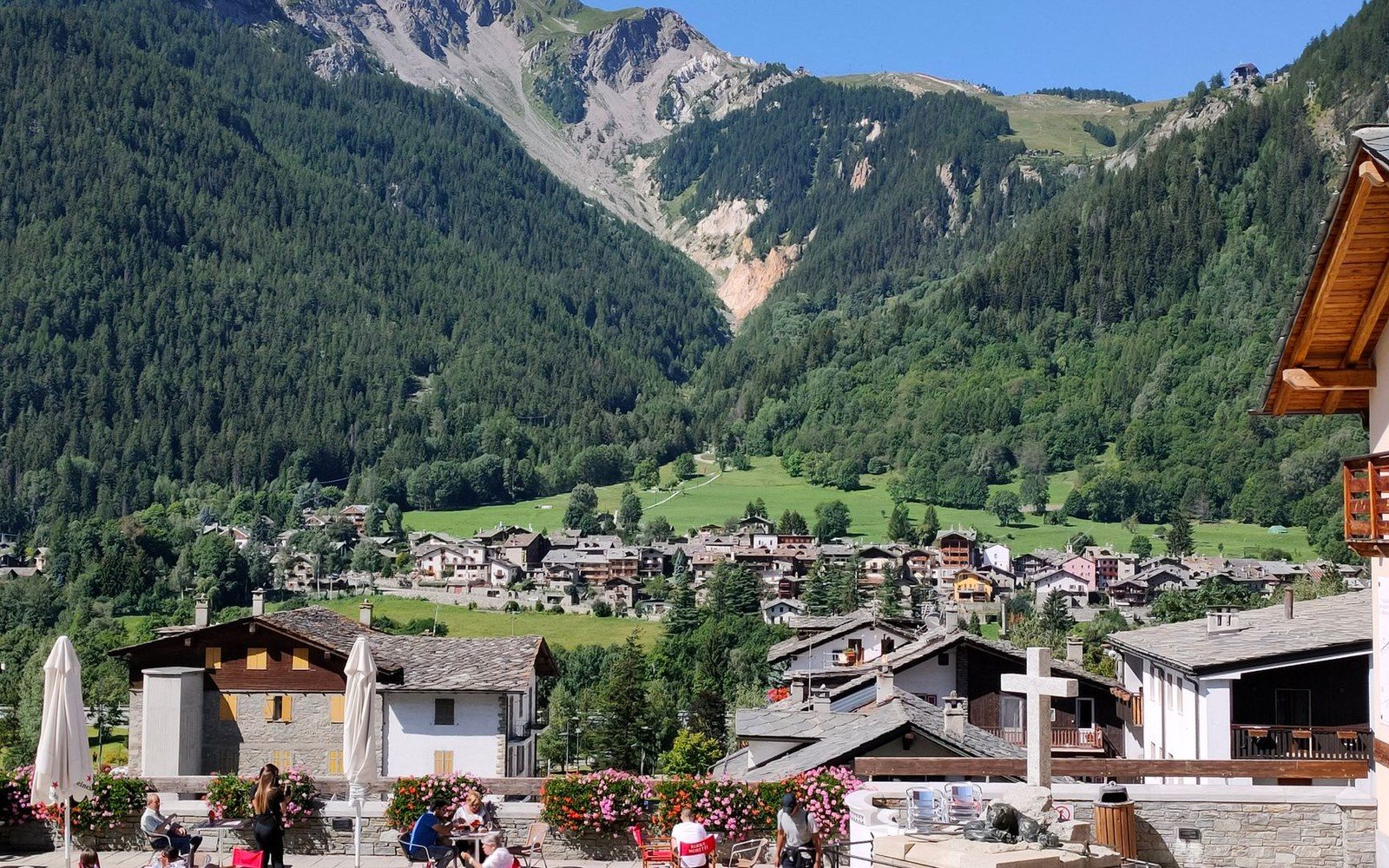
Albiez-Montrond on its south-facing shoulder, the valley floor a long way under it.
Photo: tatom live / Pexels
The Maurienne
The Arc has cut the deepest valley in the Alps, and nothing human in it sits comfortably. The village stands on a shelf. The road hangs off a wall. The cheese exists because cows could be walked up to grass that could not be mown, and the smelter exists because water could be made to fall a long way in a short distance. Every one of those is the same decision taken about a slope.
Albiez-Montrond is the vantage point. Three cols stand above it and a hundred and twenty kilometres of valley run below. This site is about what people did with that, and it is not neutral about any of it.
2,642
metres at the Col du Galibier, first crossed by the Tour de France in 1911.
1972
the year Albiez-le-Vieux and Montrond agreed to be one commune. Altitudes IGN; commune record INSEE.
Altitudes IGN
The valley floor at Modane, the village on its shelf, and the four passes that leave the Maurienne.
Cols · the piece to read first
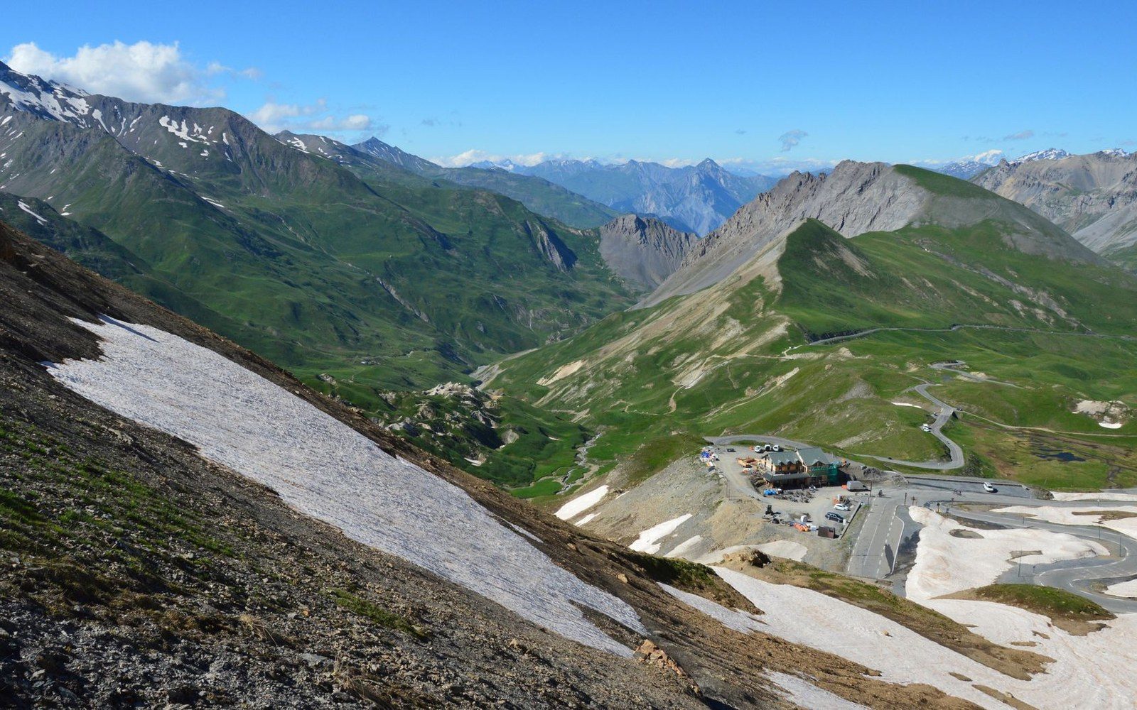
The last kilometres to the col, where the road stops pretending to be a road.
Photo: SlimMars 13 / Pexels
The Col du Galibier sits at 2,642 metres in the Graian Alps, carrying a road that required a tunnel, a gallery and decades of repair to stay open. Every feature of the route — the hairpins, the avalanche shelters, the winter closure — is engineering's acknowledgement that the mountain resists passage.
The terrain on the northern face sweeps avalanche debris across the road through winter and into early summer.
 Cols
Cols
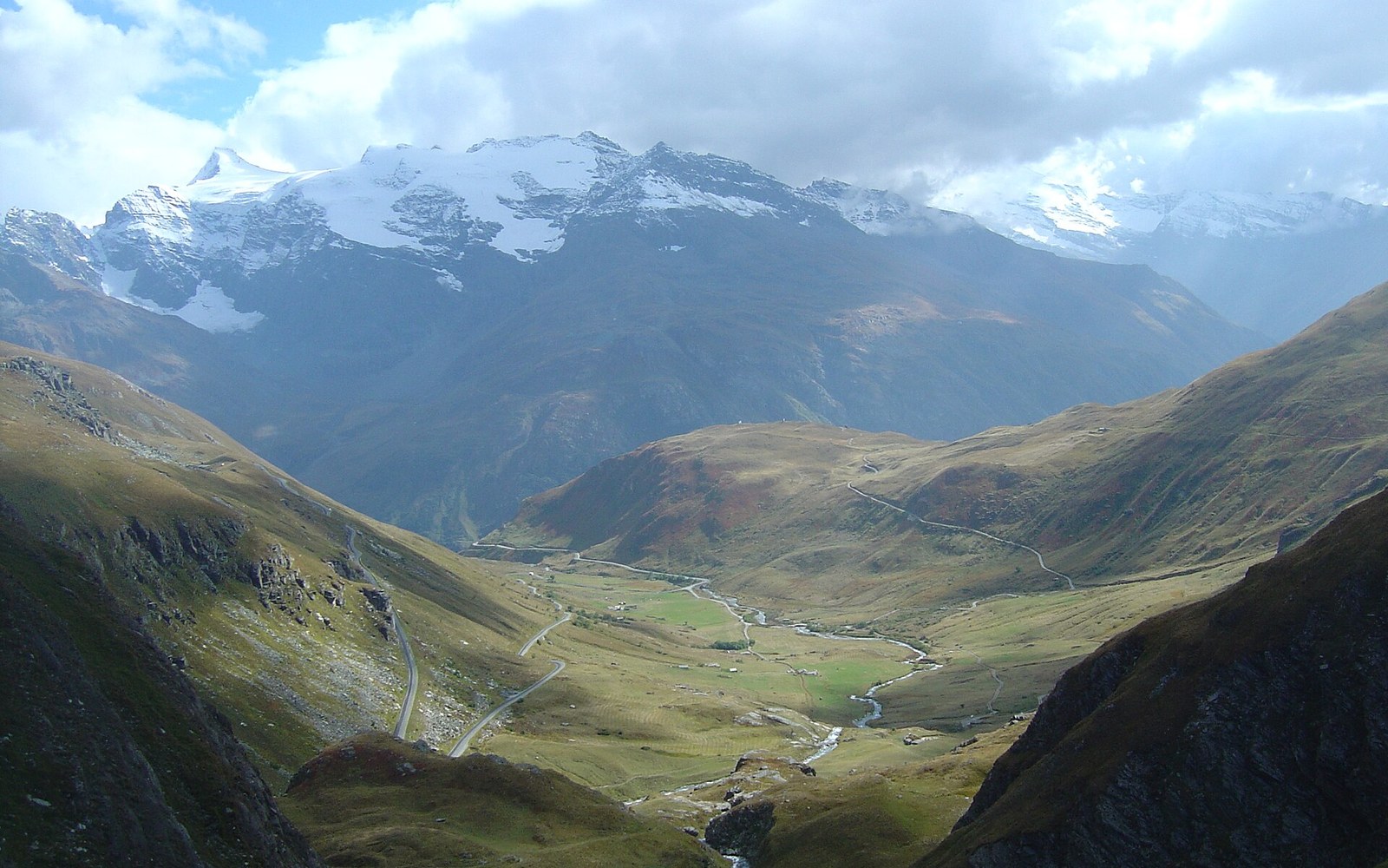
At 2,764 metres (IGN), the Col de l'Iseran is the highest paved pass in the Alps.
Read it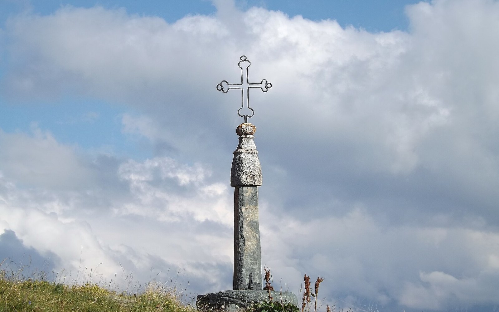 Cols
Cols
The pass at 2,067 metres is not the highest in the Savoyard repertoire, but it is among the most effortful to reach — not because of what it asks at the summit, but because of the ground it has to cover to get there.
Read it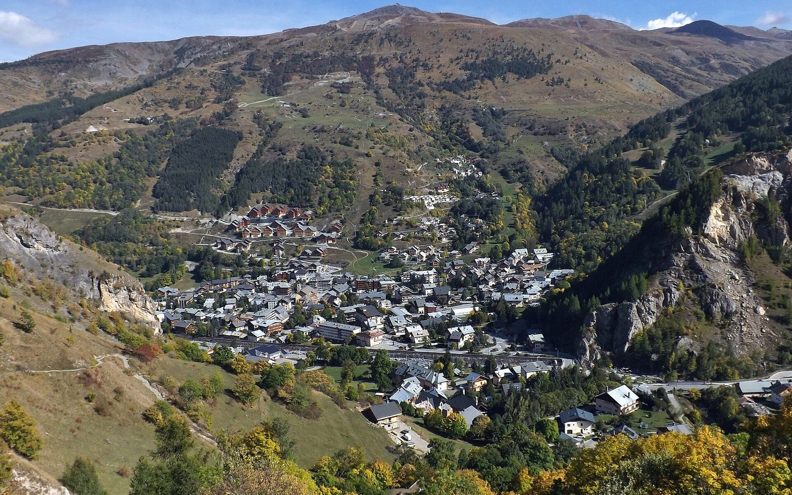 Cols
Cols
The Col du Télégraphe sits at 1,566 metres and is almost universally treated as a corridor to somewhere else.
Read itEngineering
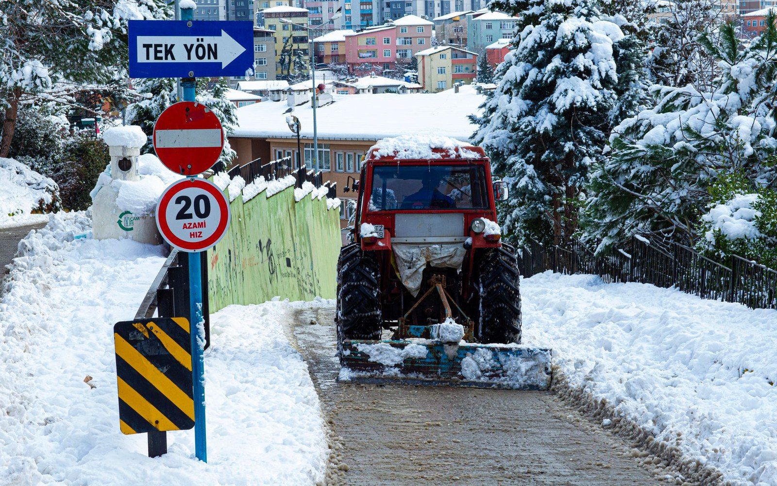
A rotary blower on the Iseran throws a wall of it clear of the parapet. The col is 2,764 m — the highest paved pass in the Alps, opened in 1937 — and it is a road for part of the year and a snowfield for the rest. Clearing it is an annual public works job with a century of practice behind it.
Every June a Machine Goes Up and Cuts the Road Out of the Snow
Outfits rooted in the same passes and cols.
 Evil Angel Transexuals where boundary-crossing is the whole point.
 Stage Homme because the most commanding performances happen off the public road.
 FTMMen proves reinvention at altitude isn't only a Maurienne tradition.
 Switch by Lauren Phillips the director's chair changes everything behind closed doors.
 Ass Parade has logged more dedicated mileage than most benchmark routes ever will.
 Moms Family Secrets the col looks quiet until you know what's waiting on the other side.
 Public Pickups roams European streets the way a surveyor follows every unmarked track.
 BrattySis some passes yield nothing, yet she always gets through.
 Bad Teens Punished strict rules, zero tolerance, no gentle detours.
The Maurienne, 120 km
Located on the map
Altitudes IGN. Numbers correspond to the pins.
The valley of the Arc, its villages and the passes that leave it.
Geometry: IGN / project map kit
Villages
The flooding of the old village of Tignes by the Chevril dam reservoir — the decision, the 1952 date, the displacement of residents and the construction of the new resort.
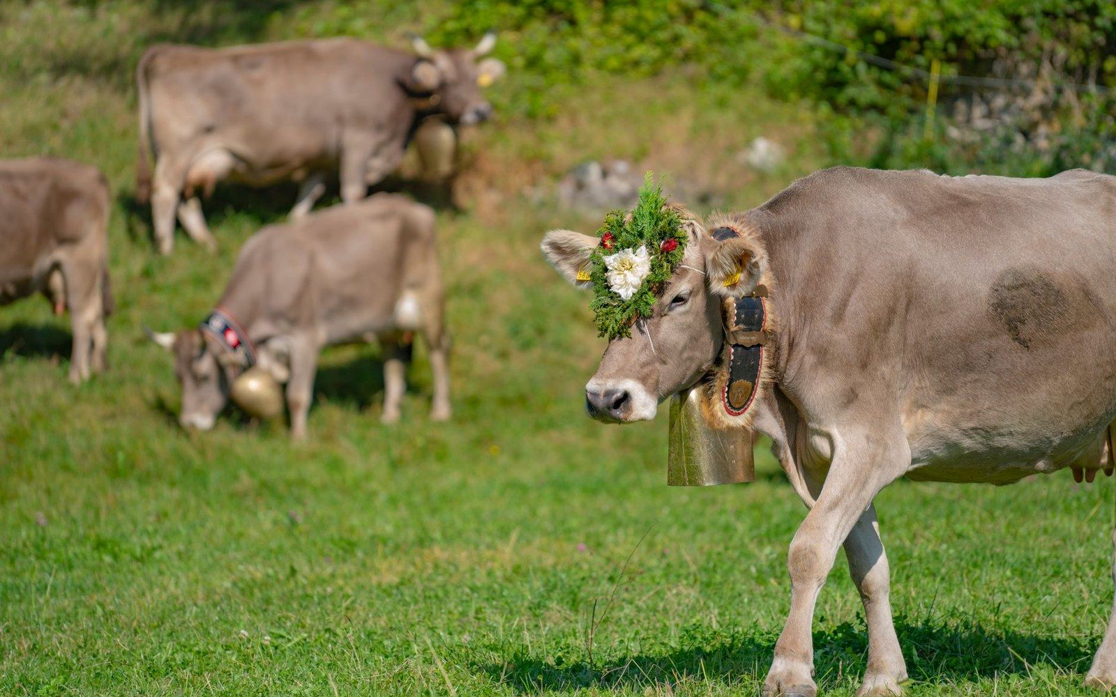
Alpage
Transhumance in the Savoyard Alps — the dates of the montée, the altitude bands the herds move through and the infrastructure (paths, fountains, shepherd huts) that makes the practice possible.