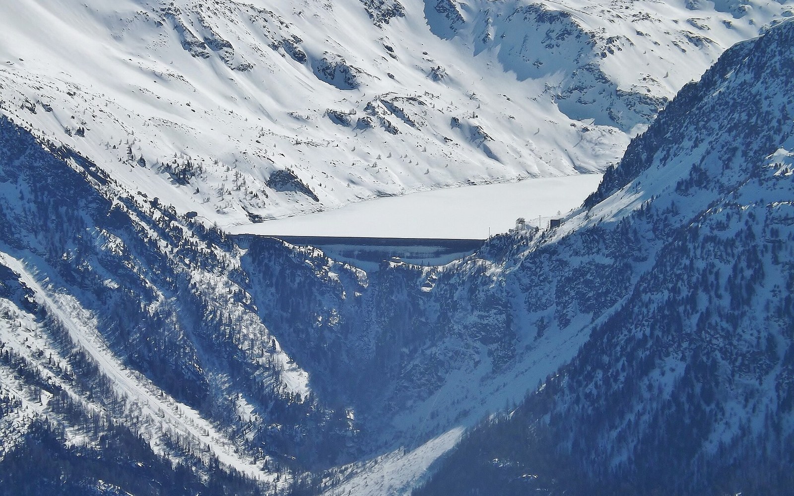
The River That Powered the Valley It Runs Through
The Arc and Isère are not just drainage channels. They are the working core of France's most concentrated run of hydroelectric infrastructure.
Two Rivers, One Gradient Argument
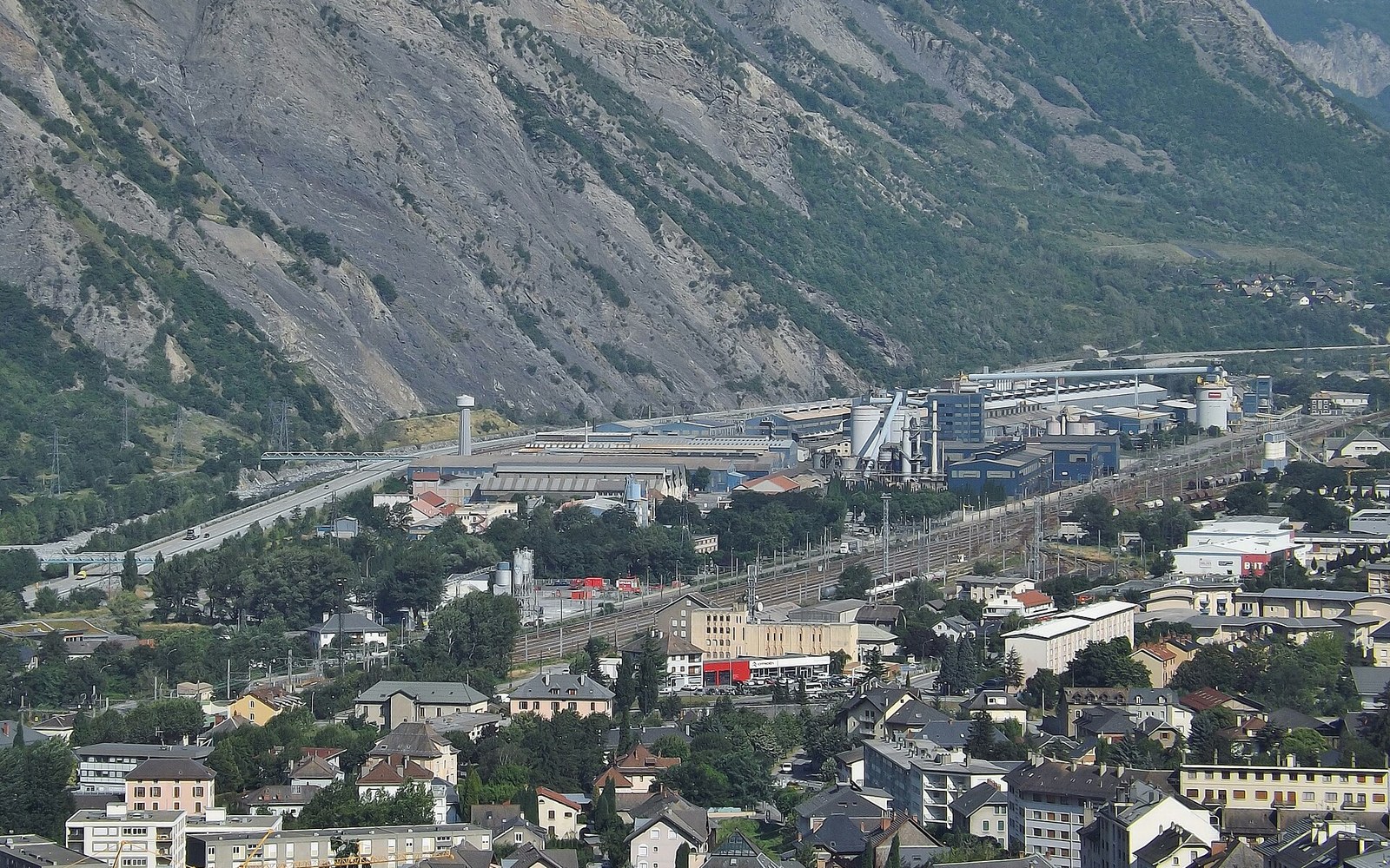
The smelters sit on the valley floor because that is where the current is cheapest.
Photo: Rio Tinto Alcan (Saint-Jean-de-Maurienne) · Wikimedia Commons
The Arc rises near the Col de l'Iseran at roughly 2,800 metres and falls to its confluence with the Isère at Aiton, near Albertville, having dropped more than 2,500 metres over approximately 125 kilometres. That gradient — steep, sustained, and carved through resistant crystalline rock — is the reason the Maurienne became one of the most intensively dammed valleys in the Alps. The Isère, draining the Tarentaise to the north, offers a comparable logic. Together, the two catchments account for a substantial share of France's total installed hydroelectric capacity, most of it developed by Électricité de France (EDF) in the three decades following the Second World War.
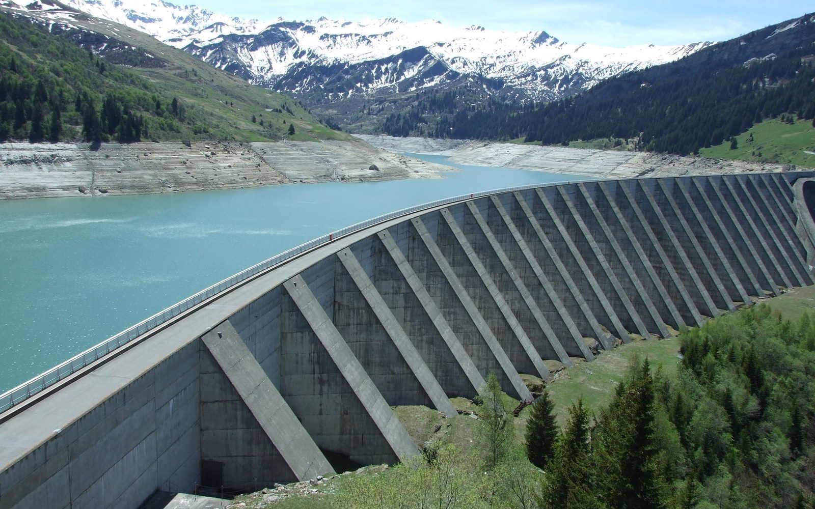
The Chevril wall stands 180 m. The old village is behind it, under the water.
Photo: ciboulette / Pexels
Hydroelectric head ↗ — the vertical drop across which falling water is made to do work — is the fundamental engineering variable. All other things equal, more head means more power from the same volume of water. The Arc's topography delivers exceptional head figures that made schemes here attractive long before EDF existed, when industrial electricity demand from aluminium smelters at Saint-Jean-de-Maurienne and Modane was already shaping the valley's economy.
The Maurienne Schemes
The pivotal structure on the Arc is the Bissorte dam, above Modane, completed in 1935. It feeds the Bissorte power station via a penstock — a pressurised conduit — dropping water some 1,200 metres to the valley floor, a head figure among the highest exploited in France at the time of construction. The station was among the more powerful hydroelectric installations in France at that date.
Further upstream, the Pont-Ventoux-Roselend scheme, though more associated with the Tarentaise, illustrates how EDF integrated cross-catchment transfers. Within the Maurienne proper, the Averole and Bramans installations collect water from the upper Arc's tributaries, using galleries bored through the massif to feed generating stations lower in the valley. The Arc-Isère transfer tunnel, completed in the 1980s, moves water between catchments for peak-load generation — an engineering decision that treats the two rivers not as separate systems but as a shared hydraulic resource.
The smelters sit on the valley floor because that is where the current is cheapest.
Photo: Rio Tinto Alcan (Saint-Jean-de-Maurienne) · Wikimedia Commons
The total installed capacity of EDF's Maurienne facilities — aggregating the Bissorte and associated storage and run-of-river stations — exceeds 1,000 megawatts by the agency's own published figures, though precise attribution across sub-catchments varies with how transfer schemes are allocated between valleys.
The Tarentaise Schemes
The Isère's main contribution to the region's generating capacity comes through two structures that rank among the largest in the French Alps. The Tignes dam, completed in 1952 and built across the Isère above Bourg-Saint-Maurice, created the Lac du Chevril reservoir, submerging the original village of Tignes in the process. The dam stands 180 metres high; the associated power station at Malgovert, commissioned in 1953, was rated at approximately 182 megawatts. Its water is delivered through a 4.5-kilometre tunnel bored through the mountain, falling around 950 metres to the generating hall.
The more ambitious Roselend scheme, completed in 1962 in the Beaufortain to the west of the Tarentaise, involved three dams — Roselend, Saint-Guérin, and La Gittaz — feeding the La Bathie power station with water drawn from multiple sub-catchments. La Bathie operates on a head of approximately 1,260 metres and holds a total installed capacity of around 540 megawatts, ranking it among the most powerful facilities in the French Alps. EDF commissioned it in stages between 1960 and 1966.
Key figures
| Arc source elevation | ~2,800 m; confluence with Isère: ~300 m — total drop ~2,500 m over ~125 km |
|---|---|
| Bissorte penstock head | ~1,200 m |
| Tignes dam height | 180 m; Malgovert tunnel length: ~4.5 km |
| La Bathie operating head | ~1,260 m; capacity: ~540 MW |
| Maurienne aggregate installed capacity | >1,000 MW (EDF published figures) |
The Engineering Logic
What the two valleys share is a geometry that concentrates elevation gain in a short horizontal distance, allowing engineers to harness enormous head without impractical penstock lengths. The IGN survey record makes this visible: a line drawn from Bonneval-sur-Arc to Saint-Jean-de-Maurienne drops well over 1,000 metres in well under 100 kilometres of valley length. That compression is precisely what the Arc's geology makes exploitable.
The result is a valley whose rivers do not simply drain the mountains. They power a significant portion of the French electricity grid — particularly during the peak winter and spring runoff periods when snow melt supplements reservoir storage and demand is highest.
Chronology
- 1935Bissorte dam and power station commissioned above Modane
- 1952Tignes (Chevril) dam completed; original village submerged
- 1953Malgovert power station commissioned, ~182 MW rated capacity
- 1960–1966La Bathie power station commissioned in stages, ~540 MW
- 1980sArc-Isère transfer tunnel completed