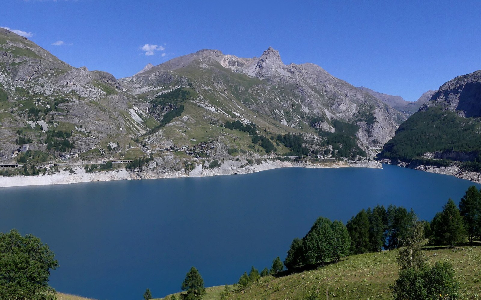
The Chevril reservoir, filled in 1952. What it covers is on the maps beneath it.
Photo: Lac du Chevril depuis la route de Tignes en été (juillet 2022) · Wikimedia Commons
In 1952 the Water Came Up Over the Church
The old village and the decision to erase it
On 25 August 1952, the sluice gates of the Barrage du Chevril closed for the first time on the Isère river above the old village of Tignes. The reservoir behind them rose over the following weeks, submerging a working agricultural community of some 800 inhabitants that had occupied the valley floor for centuries. The church steeple — the last structure to disappear — became the image the dispossession is remembered by.
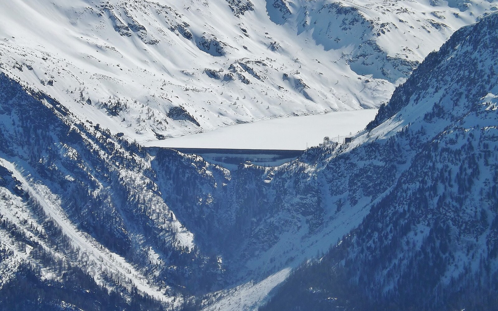
The decision to dam the upper Isère at this location had been made years before. Électricité de France, which had been nationalised in 1946, required a storage reservoir large enough to feed the hydroelectric infrastructure feeding the national grid during peak winter demand. The Chevril site, where the valley narrows sharply before Tignes and the available hydroelectric head on the Arc–Isère system is considerable, was the chosen location. The reservoir's capacity was fixed at approximately 235 million cubic metres ↗, sufficient to regulate flows through the generating stations downstream at Malgovert and Brévières.
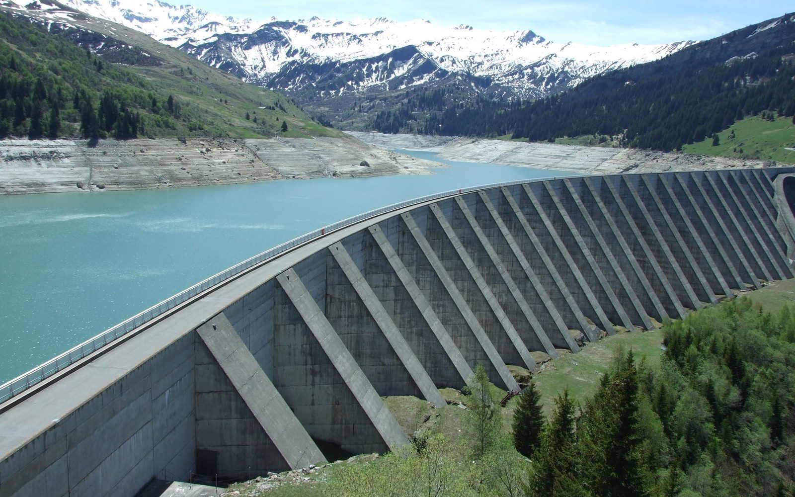
The Chevril wall stands 180 m. The old village is behind it, under the water.
Photo: ciboulette / Pexels
The Barrage du Chevril itself is a concrete arch dam, standing 180 metres high. At the time of completion it was among the highest dams in Europe. Its crest runs to approximately 570 metres in length. The retained water surface, Lac du Chevril, extends some 7 kilometres up-valley when full, entirely covering the terrain where the old village stood.
Displacement and reconstruction
The inhabitants of old Tignes were not simply relocated; they were, for some years, in open legal and political dispute with the French state. Expropriation orders were issued under public utility provisions, and valuations of the submerged agricultural land and buildings were contested. A number of residents refused to leave until physical works made remaining impossible. The mayor at the time, Firmin Fillon, became a figure associated with the community's resistance — he reportedly did not accept the compensation terms.
The state's response to the cultural rupture was the construction of a new settlement on the slopes above the reservoir's maximum water level: the resort now known as Tignes. The planning of this replacement did not proceed from the needs of the displaced farmers. The Plan Neige programme of 1964 would later formalise the state's logic of purpose-built ski resorts as deliberate economic infrastructure, but the Tignes replacement predates it. What was built above Lac du Chevril from the early 1950s onward was designed from the outset for winter tourism rather than agricultural life — an altitude ski station at Val Claret and Tignes-le-Lac, with access roads and accommodation scaled for a different economy entirely.
Tignes on the valley's own geometry, with the neighbouring cols for scale.
Geometry: IGN / project map kit
The elevation of the new settlement — the main resort nucleus sits above 2,100 metres — gave it consistent snow cover and a long season by French Alpine standards. Val Thorens, built later and higher, would surpass it in altitude, but Tignes occupied a significant early position in the development of high-altitude skiing in the Tarentaise. Its connection to the Val d'Isère ski domain, formalised as Espace Killy and covering some 300 kilometres of marked runs by the 1990s, made the combined area one of the largest linked ski circuits in the Alps.
The bell tower in the drought year
In the dry summer of 2022, the water level in Lac du Chevril dropped far enough to expose the foundations and lower courses of the old village's church, including sections of the bell tower. This reappearance ↗ was documented by journalists and photographed widely. It served as concrete evidence both of what the reservoir had covered and of how significantly climate-driven drought was reducing water levels across Alpine storage systems by the early twenty-first century.
The church's reappearance was not permanent. When precipitation and snowmelt restored the reservoir to normal operating levels, the ruins submerged again. But the episode underlined that the record of the original village is not entirely erased — it waits below the surface, measurable against a waterline whose behaviour is itself a form of data about the mountains above it.
Chronology
- 1946Nationalisation of Électricité de France
- 1952Barrage du Chevril gates close; old Tignes submerged
- 25 August 1952First closure of dam sluices recorded
- 1950s onwardNew resort development above 2,100 m
- 1964Plan Neige formalises state ski-resort construction policy
- 1990sEspace Killy codified; ~300 km of marked runs
- 2022Drought exposes church foundations; widely documented