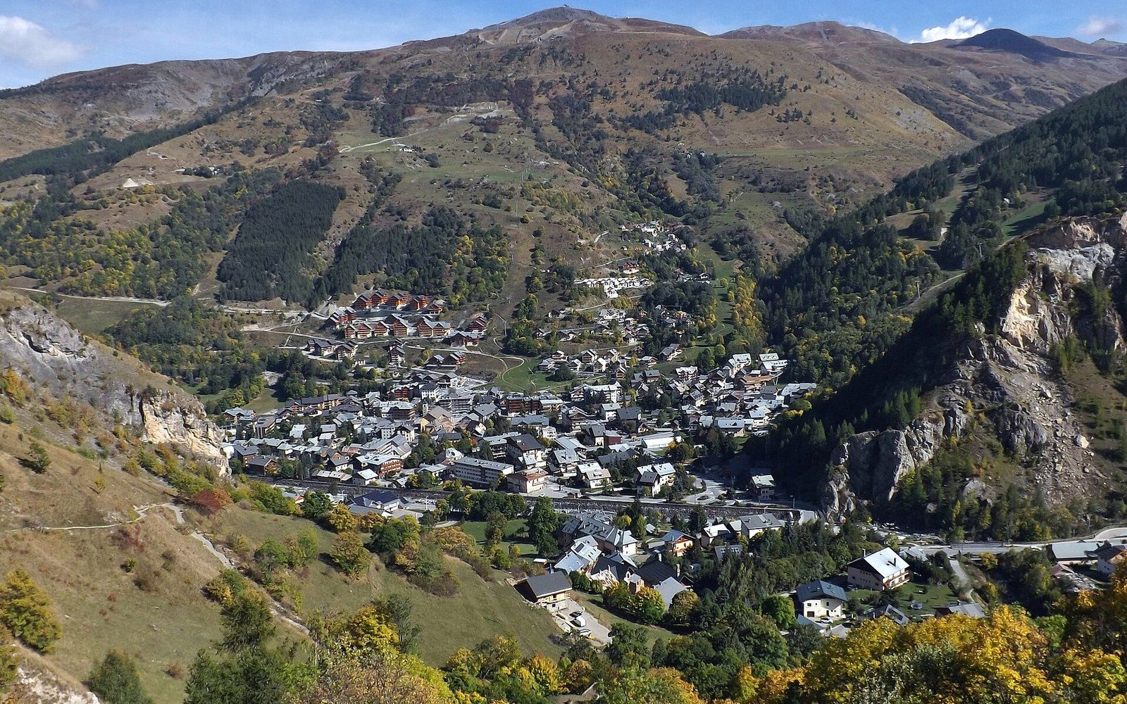
Valloire, between the two climbs — the reason the Télégraphe is never the point.
Photo: Valloire, automne 2015 · Wikimedia Commons
The Télégraphe, Which Is Never the Point
The Col du Télégraphe sits at 1,566 metres and is almost universally treated as a corridor to somewhere else.
A Pass in the Shadow of Its Neighbour
The Col du Télégraphe carries the D1006 between Saint-Michel-de-Maurienne and Valloire, climbing from the Arc valley floor through larch and spruce to a summit that, at 1,566 m according to IGN survey, is modest by Savoyard standards. It is a real col — the lowest point on a ridge that separates the Maurienne from the Valloire basin — but road writing, Tour de France commentary and touring guides treat it as the opening act for the Col du Galibier. Few bother to finish reading the first act.
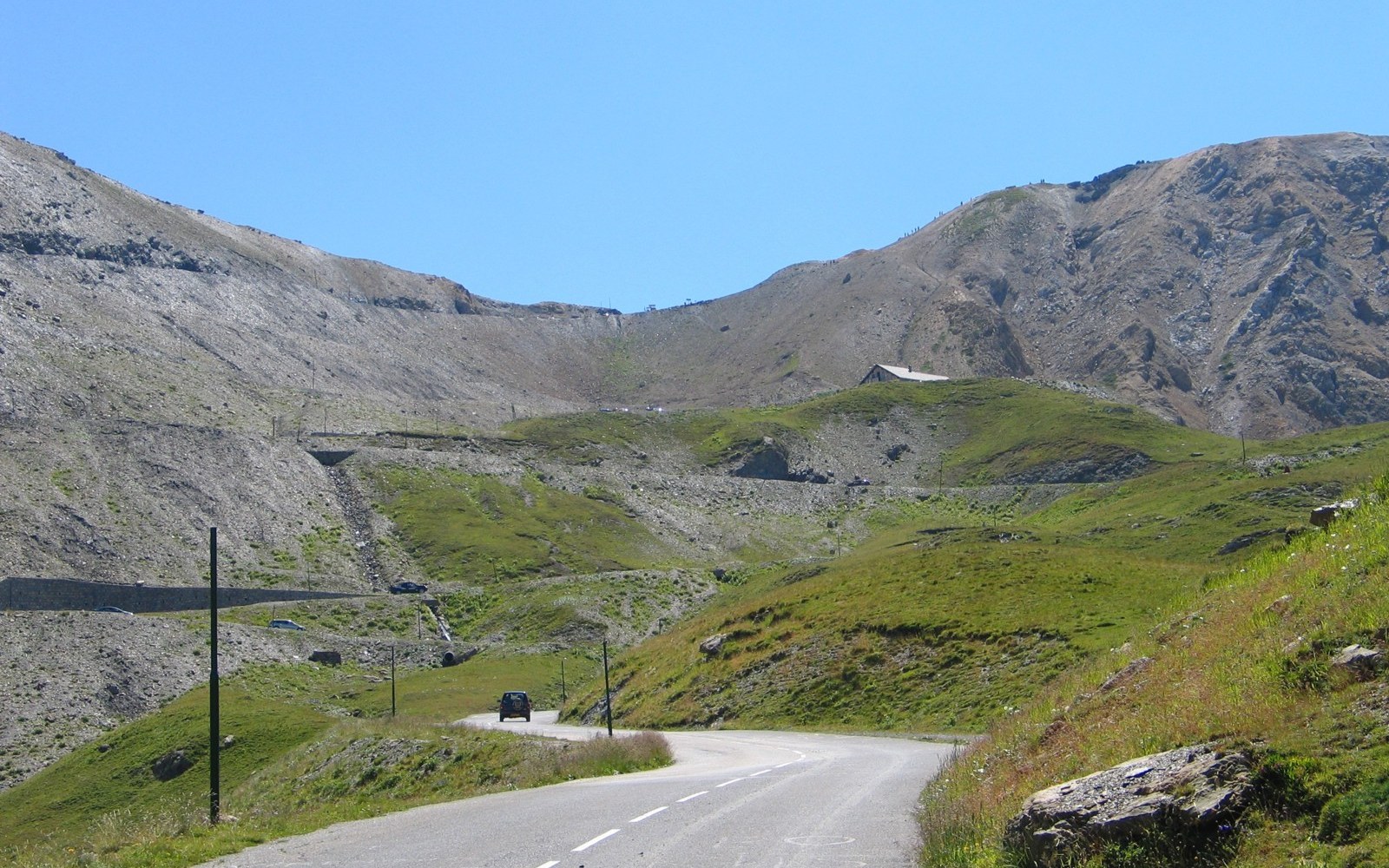
Desgrange sent the race over this to prove the road was passable.
Photo: Galibier · Wikimedia Commons
The road's name is not decorative. A semaphore telegraph relay station operated at the summit during the nineteenth century, part of the line-of-sight optical telegraph network that Napoléon's administration extended into the Alpine valleys to carry military communications toward Italy. The pass was chosen for the station because it offered a clear sightline north toward the Maurienne and south toward the Valloire corridor — exactly the geographic logic that also made it useful to road builders later. The station is gone; the name is what stayed.
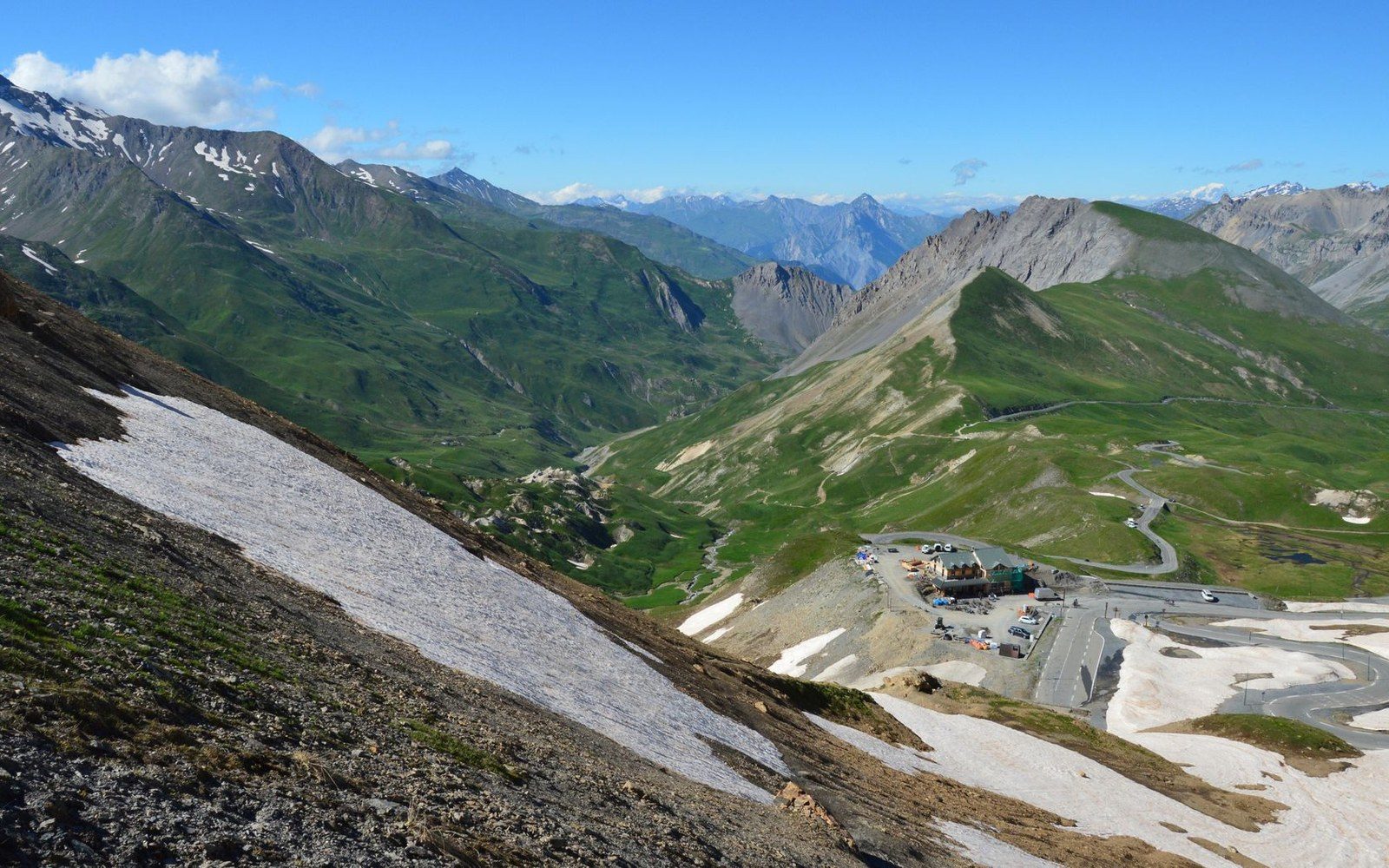
The last kilometres to the col, where the road stops pretending to be a road.
Photo: SlimMars 13 / Pexels
The road itself was formalised in the second half of the nineteenth century as part of the strategic road-building programme that the French state pushed through Savoie after the annexation of 1860, connecting valley floors to the passes and ultimately to the Italian frontier. By the time Henri Desgrange routed the Tour de France across the Galibier in 1911, the Télégraphe road already existed as the only practicable ascent from Saint-Michel — which is precisely why the race uses it, not because the climb has sporting merit in isolation, but because geography leaves no alternative.
As a climb, the Télégraphe rises roughly 850 metres over twelve kilometres from Saint-Michel-de-Maurienne, with gradients averaging around seven per cent. It is entirely forested for most of its length — a road through working larch stands ↗ — and the summit carries a hamlet, a handful of buildings and a long view south across the valley. Then the road descends into Valloire, and the Galibier begins, and everyone forgets what they just crossed.
That is the Télégraphe's permanent condition: traversed, then discounted ↗. A pass with documented history, a specific elevation and a name that remembers a technology now two centuries obsolete — and treated, every July, as a warm-up.
Chronology
- 1860French annexation of Savoie; subsequent strategic road-building programme into the valleys
- 19th century (early–mid)optical telegraph relay station in operation at the col
- 1911Tour de France first crosses the Galibier via the Télégraphe road