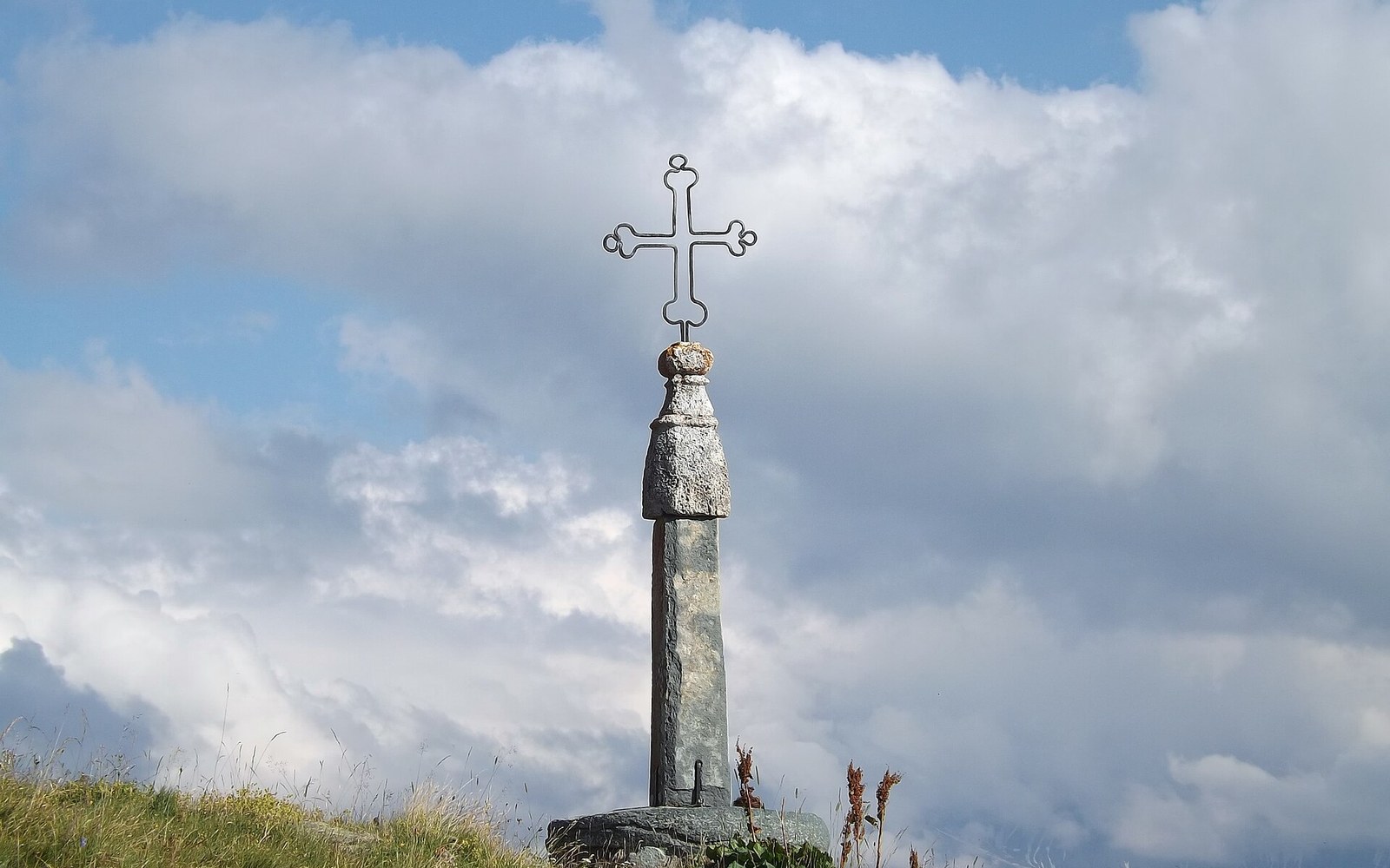
The iron cross at the summit gives the col its name and the road its excuse.
Photo: Croix du col de la Croix-de-Fer · Wikimedia Commons
The Croix de Fer Goes the Long Way Round
The pass at 2,067 metres is not the highest in the Savoyard repertoire, but it is among the most effortful to reach — not because of what it asks at the summit, but because of the ground it has to cover to get there.
The Line the Road Takes
The Col de la Croix de Fer sits on the boundary between the Maurienne and the Arvan valley, linking Saint-Jean-de-Maurienne to the north with the Romanche drainage and, eventually, the Grenoble basin. At 2,067 metres — the altitude given by the Institut Géographique National — it is a genuine high col, but its character is shaped less by summit altitude than by route geometry: the road from Saint-Jean cannot go straight because the massif does not permit it.
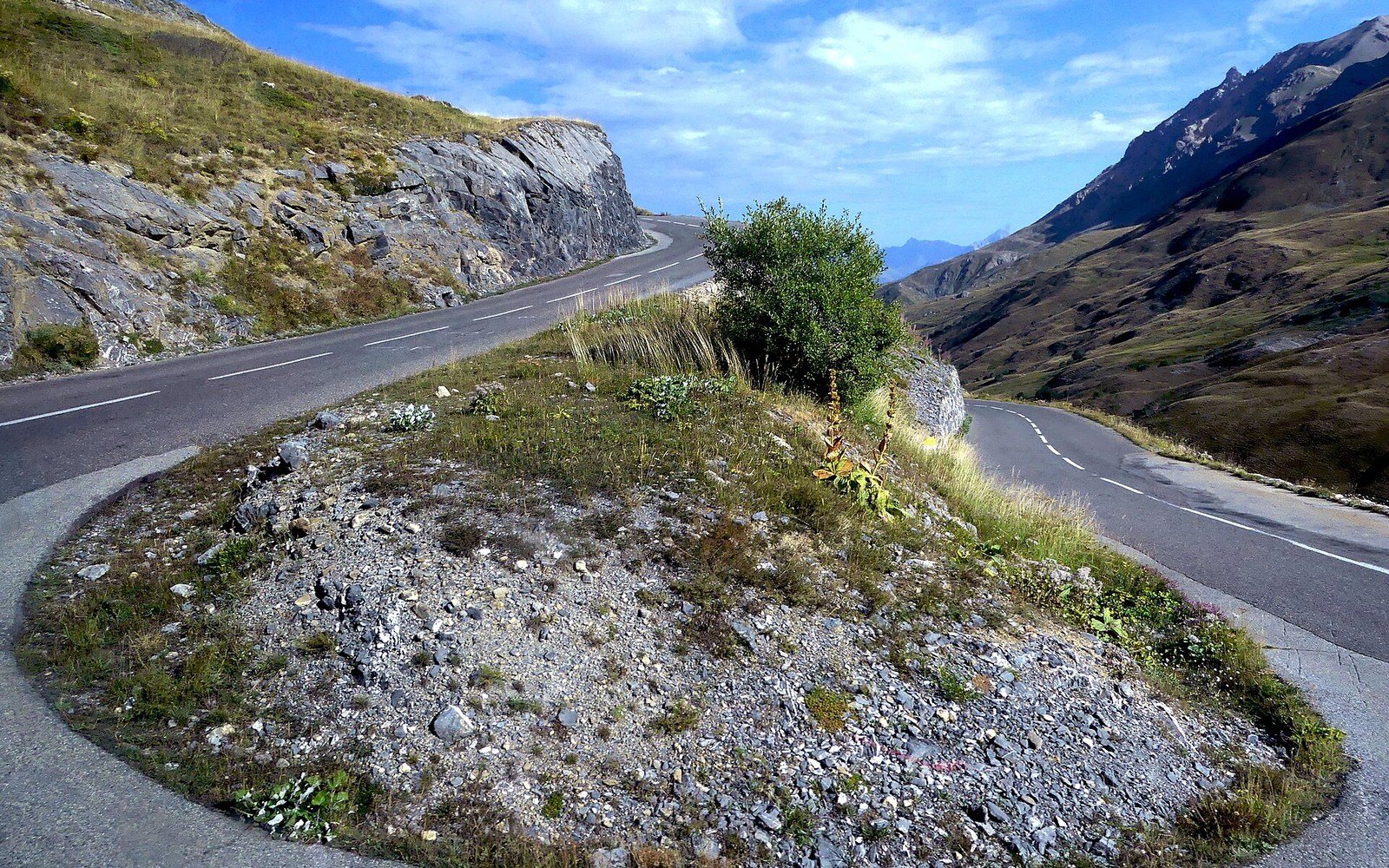
The switchback ladder below the tunnel: every bend buys height a straight line could not.
Photo: Lacet Route du Col du Galibier à Valloire (septembre 2024) · Wikimedia Commons
Leaving Saint-Jean-de-Maurienne at around 550 metres, the road climbs towards the Arves villages through a long series of switchbacks — the sharp hairpin bends that reverse direction to manage gradient on steep terrain — above the Arvan gorge. The lower section is comparatively direct, but above Saint-Sorlin-d'Arves the terrain opens into a broader glacially-worked bowl, and the road responds by extending itself: it traverses wide across the headwall rather than cutting straight up, gaining altitude gradually on slopes where a shorter, steeper line would be unworkable for loaded vehicles. The result is that the road to the Croix de Fer is, by any route measurement, long. From the Maurienne valley floor the ascent covers roughly 30 kilometres; from the Arvan approach the final kilometres are gentler in angle but persistent. Neither side invites complacency.
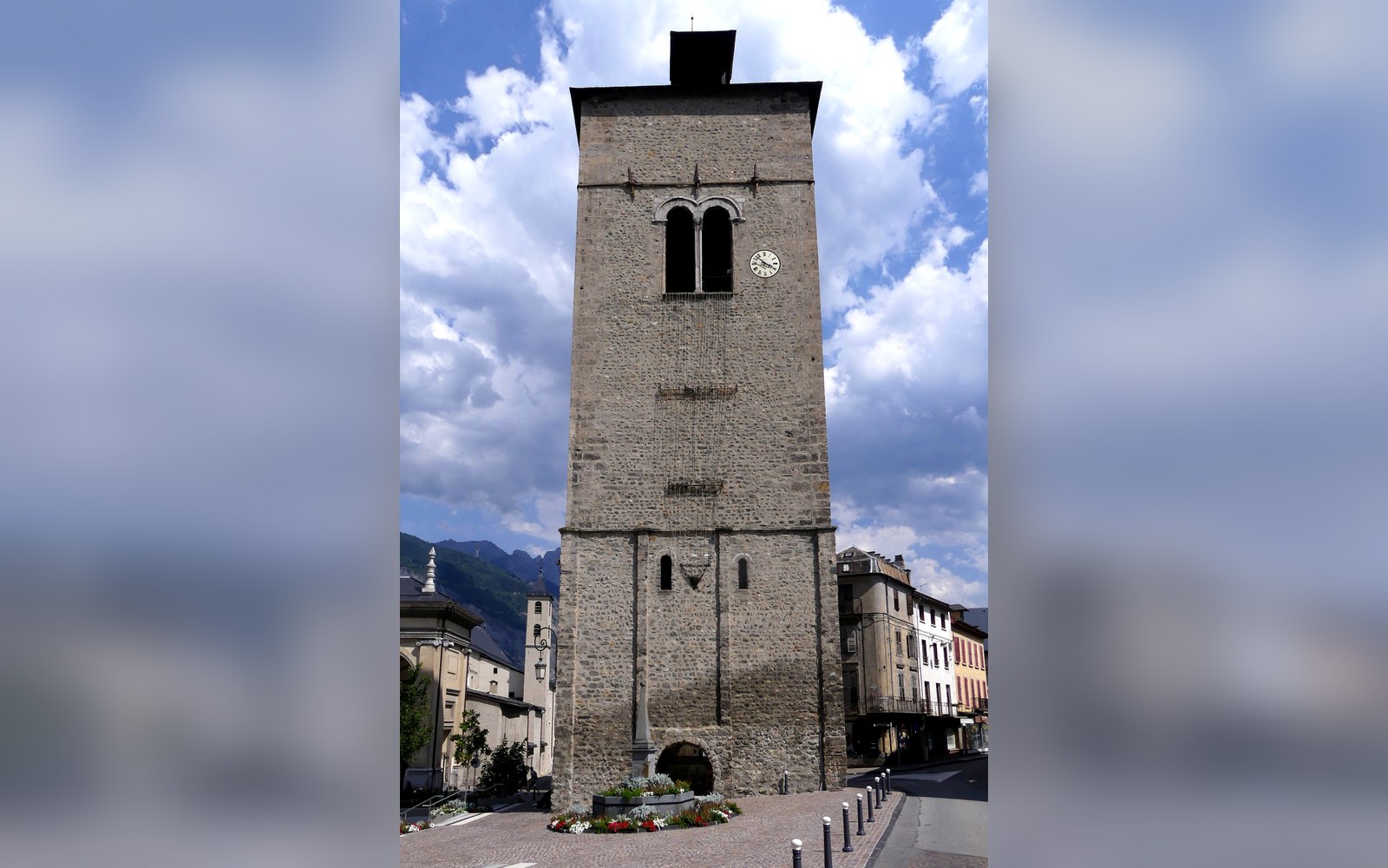
Saint-Jean-de-Maurienne held the episcopal seat, and the relics that brought the traffic.
Photo: Ouest Clocher Cathédrale de Saint-Jean-de-Maurienne (juillet 2026) · Wikimedia Commons
The name — croix de fer, iron cross — refers to an old summit marker, a wrought-iron cross that historically oriented travellers on a pass used for local transit well before any metalled road existed. The present road dates from the period of systematic Alpine road-building in the late nineteenth and early twentieth centuries, when departments across the French Alps rationalised connections between valleys that had previously depended on mule tracks or seasonal footpaths.
What the Tour Made of It
The Tour de France found a use for the Croix de Fer only once its road was well established. Henri Desgrange's race had a consistent appetite for passes that were both genuinely hard and photogenic, and the Croix de Fer — with its long approach from Saint-Jean, its exposed upper section above the treeline, and its connection to the Col du Galibier via the Maurienne — fitted the brief. The pass appeared in the Tour itinerary repeatedly from the mid-twentieth century onward, most memorably as a stage summit or as a significant intermediate climb before a finish elsewhere in the Alps.
The Tour's own records show the Croix de Fer hosting multiple summit finishes and serving as a categorised climb in many more editions. In the classification system used by race organisers, the Croix de Fer is designated hors catégorie on approaches that include the full ascent from Saint-Jean, reflecting the accumulated elevation gain rather than any single brutal ramp. Fausto Coppi ↗ crossed it in the course of his celebrated Alpine stages in the early 1950s, when the Tour's mountain itinerary through Savoie was establishing its modern form.
Col de la Croix de Fer on the valley's own geometry, with the neighbouring cols for scale.
Geometry: IGN / project map kit
Stage finishes at the col are on record for several editions in the 1980s and 1990s, and the pass returned to finish-line status in the 2000s and 2010s. Each time, the approach from the Maurienne side provided the defining effort: sustained gradient, limited shelter from wind above 1,700 metres, and a road surface that, at the highest hairpins, narrows noticeably. The approach from the Arvan side — less commonly used as the main racing direction — presents a different arithmetic: slightly shorter, somewhat less steep in the final kilometres, but feeding onto the same exposed plateau below the cross.
For anything heavier than a racing bicycle, the road's gradient is managed by its length. A lorry crossing the Croix de Fer in either direction is committed to a long, attentive descent; the road was not engineered for speed but for passage, and that remains its character.
Chronology
- Pre-road erapass used as a mule track for inter-valley transit, exact dating undocumented
- Late 19thearly 20th century — metalled road constructed during systematic Alpine road-building period
- Mid-20th centuryCroix de Fer integrated into Tour de France mountain itinerary; Coppi era crossings, early 1950s
- 1980s–1990smultiple Tour stage finishes recorded at the summit
- 2000s–2010ssummit finish status renewed in later Tour editions