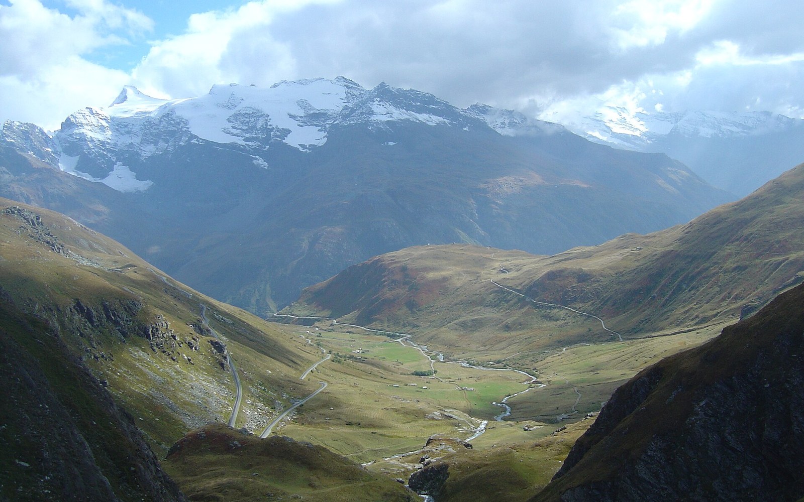
2,764 m, and paved. The survey took the line the ridge allowed.
Photo: View at 3,5 from summit- Iseran south · Wikimedia Commons
2,764 Metres: The Iseran and What It Took to Pave It
At 2,764 metres (IGN), the Col de l'Iseran is the highest paved pass in the Alps. Getting tarmac to that altitude took a decade of construction, two valleys of labour and a political will that had as much to do with Italian borders as with traffic.
The Survey and the Stakes
The Iseran sits on the watershed between the Tarentaise to the north and the Maurienne to the south, linking Val d'Isère, in the upper Isère valley, with Bonneval-sur-Arc. The two valleys had always been connected by mule track, but the interwar French government wanted a sealed, motor-capable road — and wanted it for reasons that were only partially civilian. The Italian border ran close. Mussolini's Italy was consolidating its Alpine frontier, and a paved military route over the Iseran would allow rapid redeployment of troops and materiel between the Tarentaise and the upper Maurienne without descending to the main Arc valley at Lanslebourg.
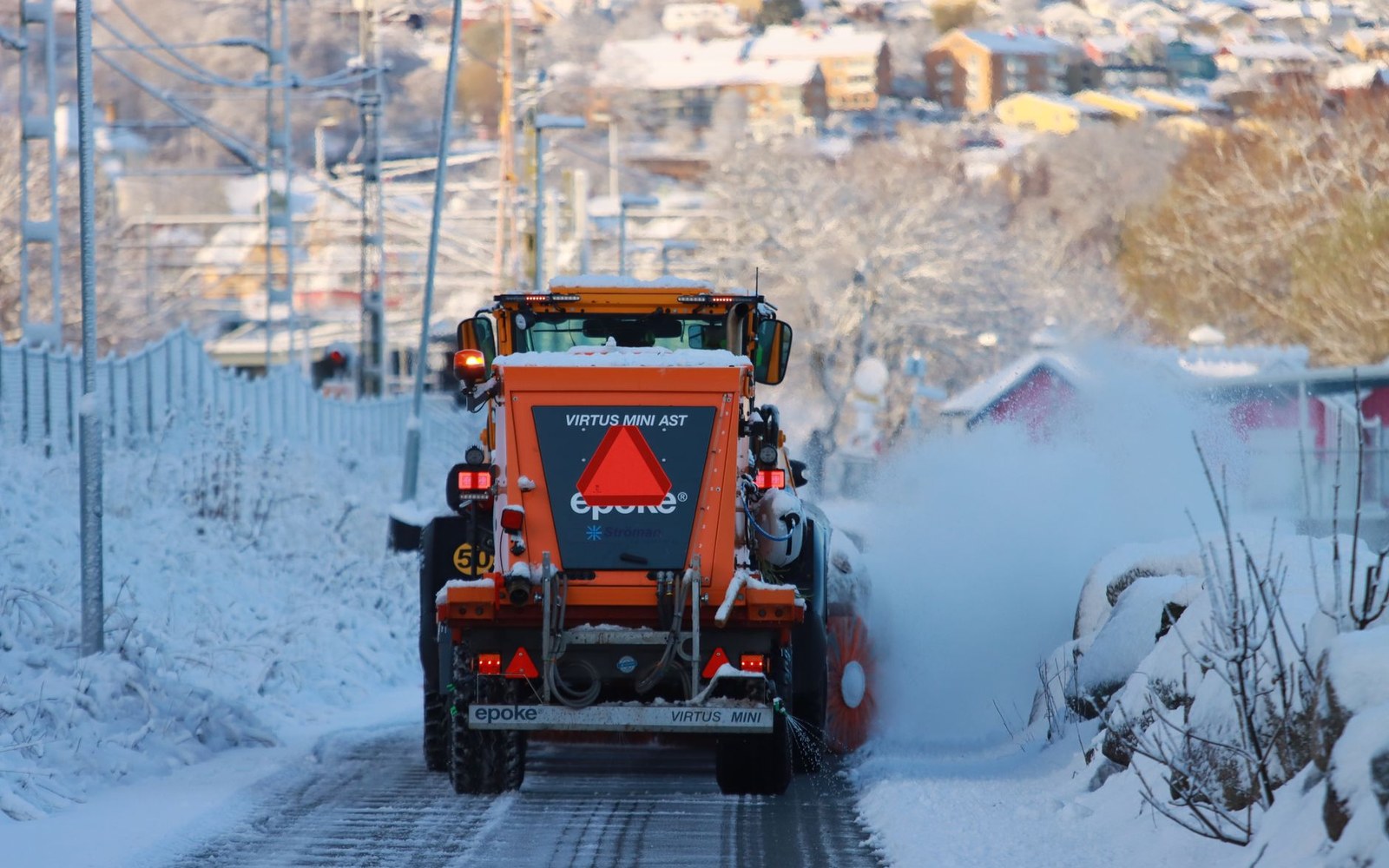
The rotary throws compacted snow clear of the parapet instead of pushing it along.
Photo: Efrem Efre / Pexels
Survey work began in earnest in the 1920s. Engineers from the Ponts et Chaussées — France's state civil-engineering corps — faced conditions that were straightforward to describe and punishing to resolve: a rocky summit ridge that carries snow from October to June, seasonal melt that destabilises cut slopes, and approach gradients that would defeat heavy construction equipment if the machine access roads were not built first. The summit elevation alone demanded that every tonne of aggregate and every barrel of tar reach an altitude at which weather can change within the hour.
Stone under lauze, and no overhead lines in the old quarter.
Photo: Susanne Jutzeler, suju-foto / Pexels
Ten Years of Road
Construction began in 1927 and proceeded from both ends simultaneously. The southern approach, climbing out of Bonneval-sur-Arc through the upper Arc gorge, required the road to negotiate steep, exposed terrain — the village itself sits at roughly 1,800 metres, and the road gains nearly a thousand metres above it on the final run to the pass.
The northern approach from Val d'Isère is longer, beginning around 1,850 metres and winding through a sequence of switchbacks — hairpin bends that reverse direction to gain altitude on ground too steep for a direct line — before emerging onto the final exposed shoulder below the col. The road was engineered to a width that permitted two vehicles to pass, though the outermost metre of any given hairpin tests that claim in practice.
The pass was officially opened on 26 July 1937, linking the two valleys by sealed road for the first time. The timing was not incidental: European rearmament was accelerating, and France's investment in its Alpine military roads during the 1930s reflected the strategic doctrine of the Maginot period, which included mountain defences as well as the fortified line to the east.
Col de l'Iseran on the valley's own geometry, with the neighbouring cols for scale.
Geometry: IGN / project map kit
What the Tour Saw
The Tour de France reached the Iseran quickly after the road opened. The race crossed the col for the first time in 1938, the year after the inauguration, when Henri Desgrange — whose editorial logic at the Tour had always been that the hardest road deserved the race — included it as a mountain stage summit. The Iseran has remained in the Tour's repertoire, most notably in 2019 when a stage was neutralised mid-descent after hail and a landslide, the race result frozen at the point Julian Alaphilippe crossed the summit. The moment confirmed something the engineers of the 1930s would have recognised immediately: at 2,764 metres, the road is always at the weather's discretion ↗.
A Road That Earns Its Closure
The Iseran is officially closed, typically, from early November to late June — the exact dates varying by year and condition — with the rotary snowplough working the final summit section last of all, as it does on all the high Savoyard cols. The road's seasonal brevity is structural rather than administrative: at altitude, the snowpack at the summit can exceed several metres, and the cut walls on the approach hold drifts that re-form between clearance passes.
What the Iseran represents, stripped of superlatives, is a specific calculation: that military and administrative access to the upper valleys was worth the capital and the labour required to put a sealed road on the roof of the Alps. The engineering worked. The road is still there, still the highest, and still closed for the better part of each year.
Key figures
| — | 2,764 m — summit altitude of the Col de l'Iseran, per IGN; highest paved pass in the Alps |
|---|---|
| Construction period | 1927–1937 (approximately ten years) |
| Opened | 26 July 1937 |
| Southern approach base | Bonneval-sur-Arc, approximately 1,800 m |
| Northern approach base | Val d'Isère, approximately 1,850 m |
| Seasonal closure | typically November to late June |