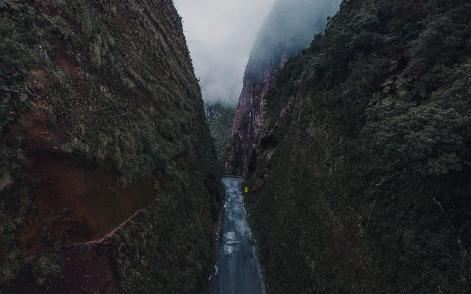
The Arc has cut its bed so deep that road and rail compete for the same ledge.
Photo: Guilherme Rossi / Pexels
The Staircase the Arc Cut
A valley measured in vertical drops
The Maurienne is not a valley in the rounded, accommodating sense of the word. It is a slot — 130 kilometres long by IGN survey measure, falling from the Col de l'Iseran at 2,764 metres to the confluence of the Arc with the Isère below Aiguebelle, southwest of Albertville at roughly 330 metres. That differential, nearly 2,400 metres of net descent compressed into a single drainage line, makes the Maurienne the deepest valley in the Alps by the standard measure of thalweg-to-ridge-crest height difference. The walls on the south side above Saint-Jean-de-Maurienne rise close to 2,500 metres from the valley floor within a horizontal distance of under eight kilometres. No engineered structure softens that geometry; it simply is what the Arc cut.
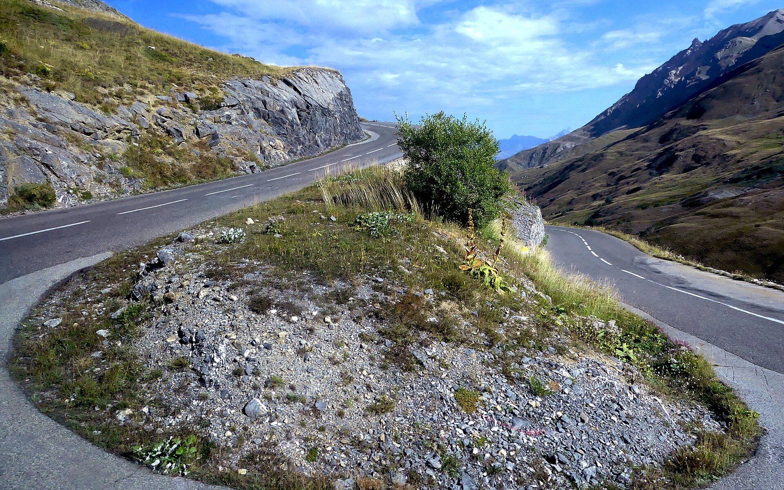
The switchback ladder below the tunnel: every bend buys height a straight line could not.
Photo: Lacet Route du Col du Galibier à Valloire (septembre 2024) · Wikimedia Commons
The river did not cut evenly. Water moving through resistant rock and then softer rock does not plane a smooth ramp; it excavates in steps, leaving a series of gorge sections separated by broader, flatter-floored basins. The Arc follows exactly this pattern. The upper valley above Bonneval-sur-Arc is a high, open glacial trough, still wide enough for summer pasture — the alpages that sustain the transhumance calendar — with the river moving at a relatively gentle gradient through schist and gneiss. Below Lanslebourg-Mont-Cenis the valley tightens sharply. The gorge between Modane and Saint-Jean-de-Maurienne is the crux: the river drops fast through a narrow defile where the rock resisted glacial widening, and the floor is barely wide enough for a road and a railway to coexist without one of them climbing the slope. Below Saint-Jean the valley opens again, fractionally more tolerant, before the final descent to the Isère.
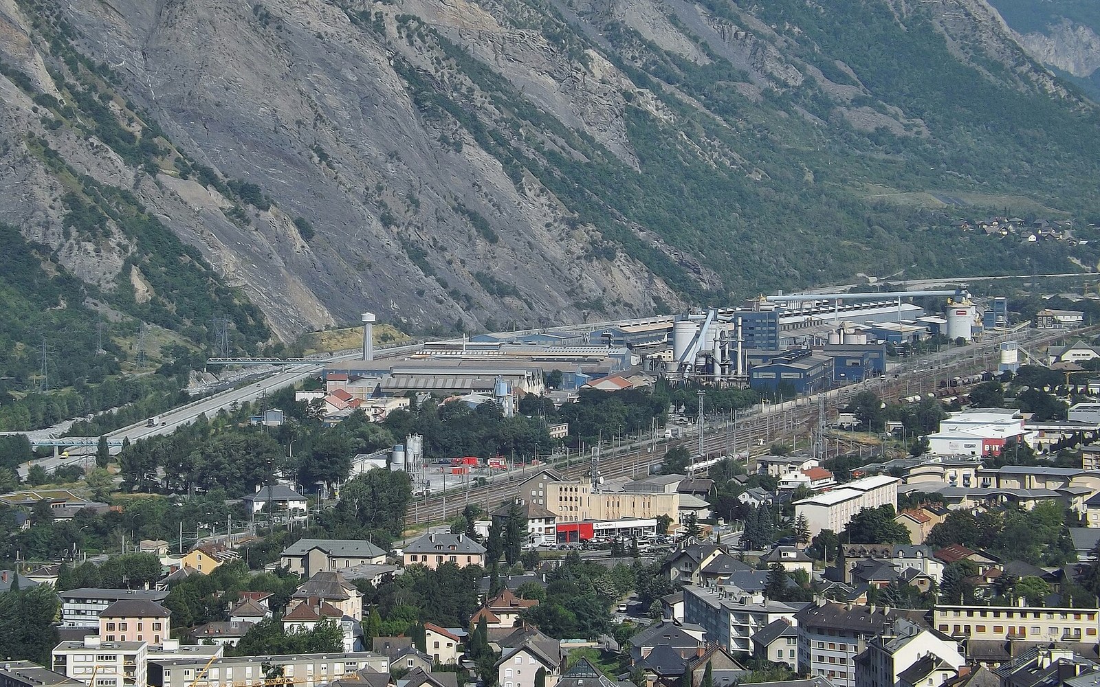
The smelters sit on the valley floor because that is where the current is cheapest.
Photo: Rio Tinto Alcan (Saint-Jean-de-Maurienne) · Wikimedia Commons
This stepped structure — open basin, gorge, open basin, gorge — shaped every infrastructure decision made in the valley. The Société des Chemins de Fer de Paris à Lyon et à la Méditerranée, laying the Maurienne rail line toward the Mont Cenis tunnel in the 1850s and 1860s, had to negotiate each step in turn, blasting ledges into valley walls that offered no natural bench. The road that preceded and then ran alongside the railway faced the same constraint: where the Arc pressed against the cliff, both road and rail fought for the same narrow horizontal band. In the worst gorge sections, the avalanche gallery — reinforced concrete shell built over the carriageway — became not an optional safety measure but a structural necessity, because the road had no room to detour around the debris paths coming off the walls above.
Gradient figures tell the story in numbers. The Arc's average fall from Bonneval-sur-Arc to Saint-Jean-de-Maurienne ↗ works out at well over ten metres per kilometre across the middle valley, but that average conceals the steps: the gorge sections run steeper, the basin floors flatter, and the river accelerates and slows accordingly. It is this concentrated energy that made the Maurienne an early target for hydroelectric development, with Électricité de France and its predecessors identifying sufficient hydroelectric head at multiple points along the Arc and its tributaries to justify a sequence of dams and diversions through the mid-twentieth century.
The cols that break the valley's rim — the Galibier to the south-west, the Col de la Croix de Fer linking toward the Romanche, the Iseran closing the upper end — are exits from a corridor that is otherwise sealed. Each pass road must climb the full wall height that the Arc's lateral erosion created, which is why each one involves a long sequence of switchbacks and why the figures the IGN records for the Iseran — 2,764 metres, the highest paved pass in the Alps — are inseparable from the depth of the valley it exits. The Maurienne's profundity is not incidental to its passes. It is the same fact, stated from a different altitude.
Key figures
| Valley length | 130 km (IGN survey measure) |
|---|---|
| Col de l'Iseran summit | 2,764 m |
| Confluence with Isère (near Albertville) | approximately 330 m |
| Net descent along the Arc | approximately 2,400 m |
| South-wall rise above Saint-Jean-de-Maurienne | approximately 2,500 m within under 8 km horizontally |
| Arc average gradient, Bonneval to Saint-Jean | approximately 8–9 m/km (variable by gorge/basin section) |