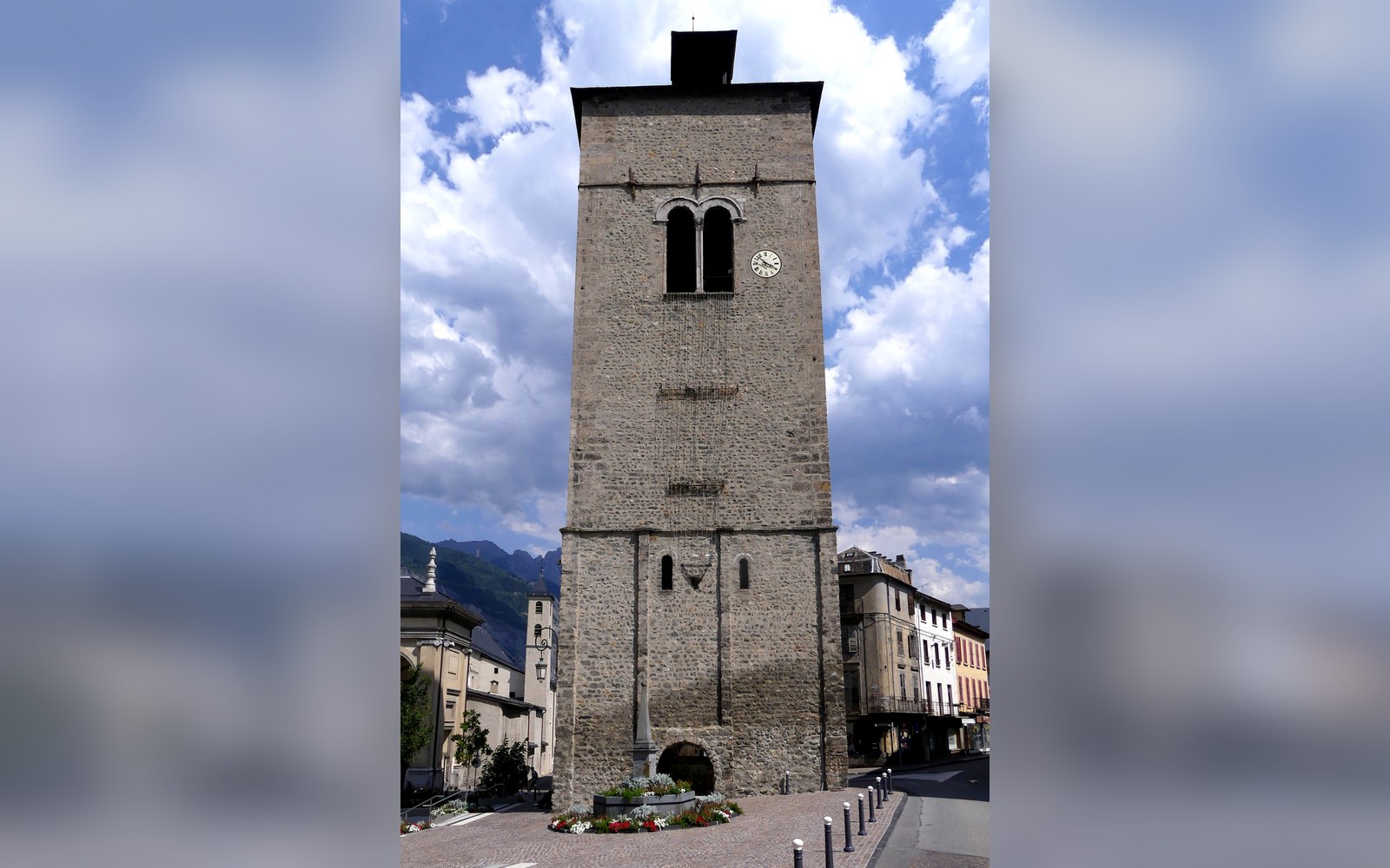
Saint-Jean-de-Maurienne held the episcopal seat, and the relics that brought the traffic.
Photo: Ouest Clocher Cathédrale de Saint-Jean-de-Maurienne (juillet 2026) · Wikimedia Commons
Saint-Jean-de-Maurienne and Its Cathedral
The valley's ancient capital carries its episcopal past in stone — and its rail junction in concrete.
The See That Organised the Valley
Saint-Jean-de-Maurienne sits at the confluence of the Arc and the Arvan, roughly at the valley's geographical midpoint, and that position made it the natural seat of administration long before anyone drew a departmental boundary. The town served as the ecclesiastical capital of the Maurienne from the early medieval period, when a bishop's see was established here — tradition places its foundation in the fifth or sixth century, though the earliest solid documentary evidence comes from the Carolingian era. For roughly a millennium, the bishop of Maurienne was the effective civil authority over the upper valley, controlling transit revenues on the passes and appointing local officers from a palace adjoining the cathedral.
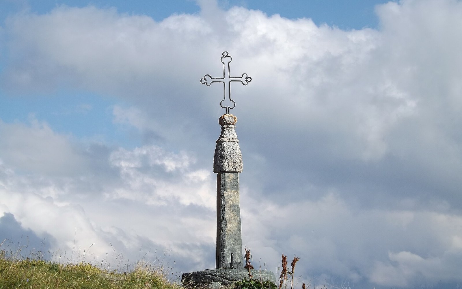
The iron cross at the summit gives the col its name and the road its excuse.
Photo: Croix du col de la Croix-de-Fer · Wikimedia Commons
The relics that fixed the see here were those attributed to John the Baptist — specifically, a finger bone, reportedly brought from the east by Saint Thècle and arriving, by the medieval account preserved in the cathedral's own records, in the fifth century. Whether the provenance holds to any historical standard is a different question; what the relics undeniably did was generate pilgrimage traffic, endow the church with donations, and justify the building of a structure whose scale exceeded anything the valley's own population could have sustained. Saint-Jean-Baptiste was a destination cathedral, and the town grew around that fact.
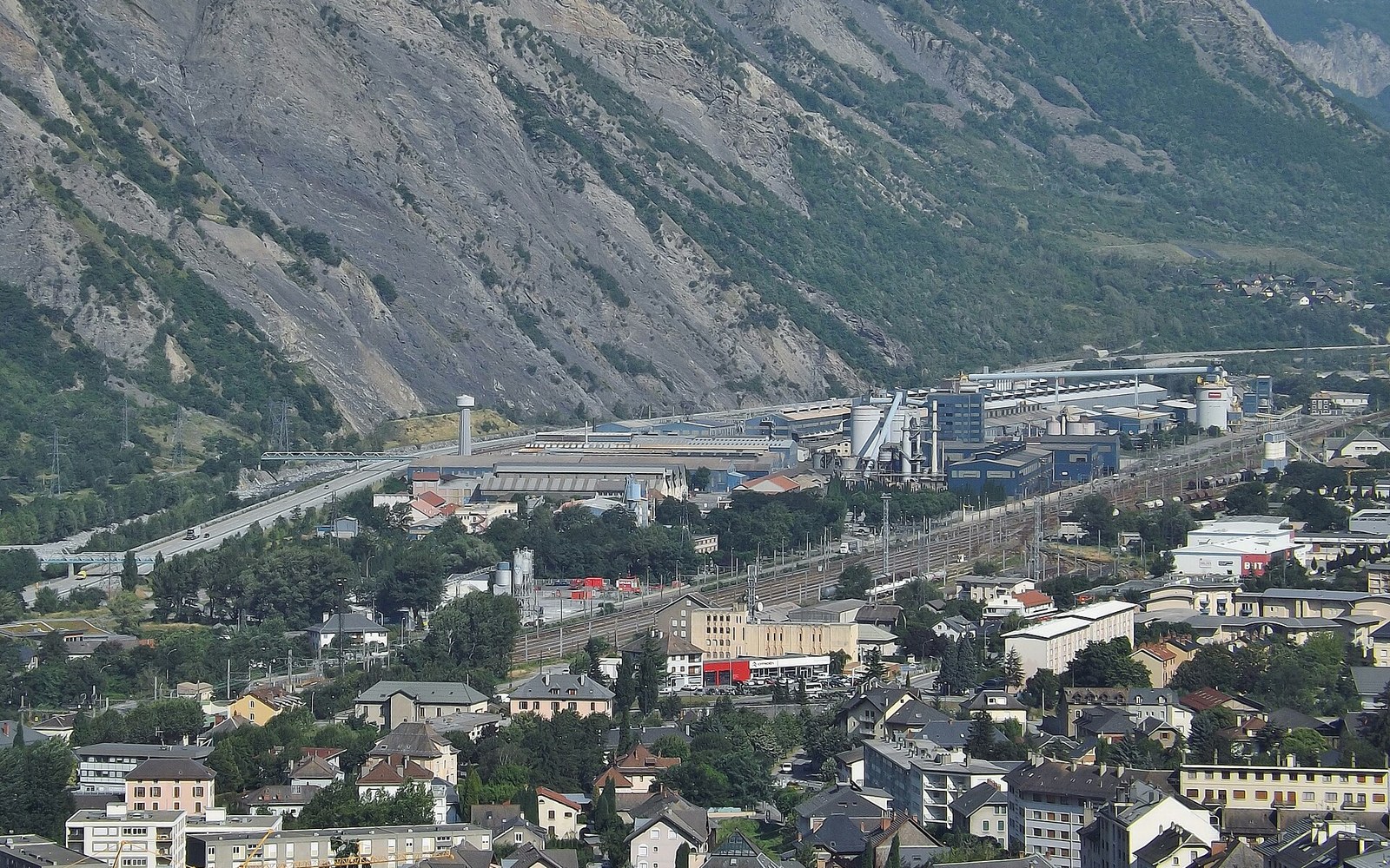
The smelters sit on the valley floor because that is where the current is cheapest.
Photo: Rio Tinto Alcan (Saint-Jean-de-Maurienne) · Wikimedia Commons
The Cathedral and Its Cloister
The Cathedral of Saint-Jean-Baptiste ↗ is classified as a monument historique, and the classification is earned. Construction unfolded across several centuries, with the bulk of the existing fabric dating from the eleventh to the sixteenth century. The nave is Romanesque in its earliest layers; the choir is late Gothic; the west tower, rebuilt after damage, gives the skyline its punctuation mark above the modern town. The interior retains carved wooden stalls — a set of late fifteenth-century choir stalls generally dated to around 1498 — considered among the finest surviving examples of the type in Savoie. Stone and timber work at this level of ambition required sustained patronage, and the bishops provided it across successive campaigns of construction and repair.
The cloister, to the north of the nave, is the piece that draws architectural attention. Its arcaded galleries, in a warm local limestone, preserve a quality of light and enclosure rare in the region. The reliquary chapel adjoining it still holds the John the Baptist relic, displayed in a reliquary casket of later date; the finger bone — the doigt, as the town's own descriptive panels name it — remains the object's formal identity and the anchor of its cult.
Transit, Then Rail
The town's secular importance tracked its sacred one. The Roman road through the Maurienne — running from the Po plain across the Col du Mont Cenis ↗ toward Gaul — passed through the valley floor, and whatever settlement occupied the site of Saint-Jean controlled a stretch of it. In the medieval period that role intensified: the bishops taxed mule trains, and the town's inns, merchants and notaries all fed off movement through rather than from the territory itself. The Savoy counts and dukes understood the same logic, and the town appears repeatedly in their administrative records as a collection and enforcement point on the alpine transit corridor.
Located on the map
- 1Saint-Jean-de-MaurienneMaurienne556 m
Altitudes IGN. Numbers correspond to the pins.
Saint-Jean-de-Maurienne on the valley's own geometry, with the neighbouring cols for scale.
Geometry: IGN / project map kit
The Société des Chemins de Fer de Paris à Lyon et à la Méditerranée brought rail to the valley in the nineteenth century, and when the Maurienne line was extended toward Modane and the Fréjus tunnel, Saint-Jean became the junction where the branch toward the Arvan and eventually Grenoble diverged from the main trunk. That junction function persists: the station today handles freight on the principal corridor toward Italy as well as local passenger services, and the town's commercial centre orients itself — as it always has — to the movement of people and goods along the valley floor rather than up onto the surrounding slopes.
Saint-Jean-de-Maurienne is not a resort. Its economy since deindustrialisation has rested on administrative, commercial and transport functions in a way that mirrors its medieval role more closely than its neighbours might. The valley that contains it cut its own conditions: a floor wide enough to build on, steep enough sides to constrain ambition, and a transit corridor running through it that made whoever sat at the midpoint consequential.
Chronology
- Fifth–sixth centuryepiscopal see traditionally founded; relics attributed to this period
- Carolingian eraearliest firm documentary evidence of the bishop of Maurienne
- Eleventh–sixteenth centuryprincipal construction phases of the cathedral fabric
- c. 1498carved wooden choir stalls, the cathedral's most-cited moveable work
- Nineteenth centuryPLM rail line reaches the Maurienne; Saint-Jean established as a valley junction