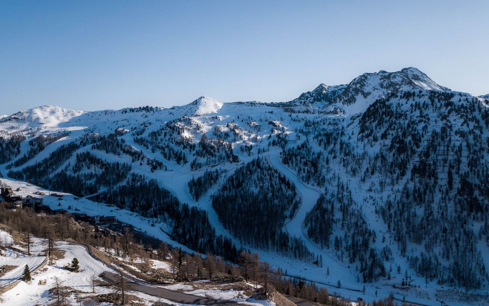
Built from the lift line outward: a Plan Neige resort starts at its infrastructure.
Photo: Gaetan THURIN / Pexels
Plan Neige, 1964: The State Builds a Winter Industry
A government policy document translated into concrete and steel: how France's 1964 Plan Neige turned alpine altitude into a deliberately engineered economic asset.'s 1964 Plan Neige turned alpine altitude into a deliberately engineered economic asset.
The Problem the Plan Was Answering
By the early 1960s, the French state had accumulated a clear diagnosis of the mountain economy. The Savoyard valleys — the Maurienne, the Tarentaise, the Beaufortain — were losing population to the lowland industrial cities. Agriculture on the high ground was seasonal and marginal. The hydroelectric infrastructure along the Arc and Isère had brought wage work to the valley floor, but the slopes above remained economically thin. Winter, specifically, was a liability: a season to be endured rather than monetised, its terrain unserved by serious infrastructure.
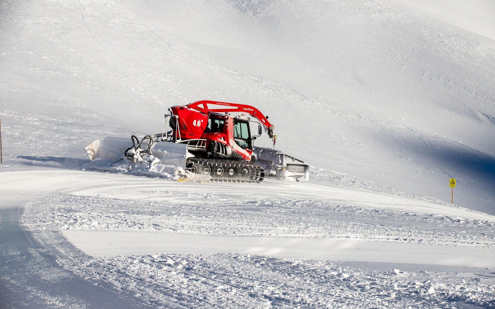
Every lance on the piste is an intake somewhere lower down the mountain.
Photo: Alan Kabeš / Pexels
The resorts that did exist — Chamonix, Megève — had grown from existing village stock and tourist fashion, not from planning. Their bed capacity was limited by the buildings that happened to be there. The lifts were retrofitted around topography; the roads were whatever had served the village before. The state's economists concluded that this model could not scale, and more critically, that it placed the economic value of the terrain in private and municipal hands that lacked the capital to develop it systematically.
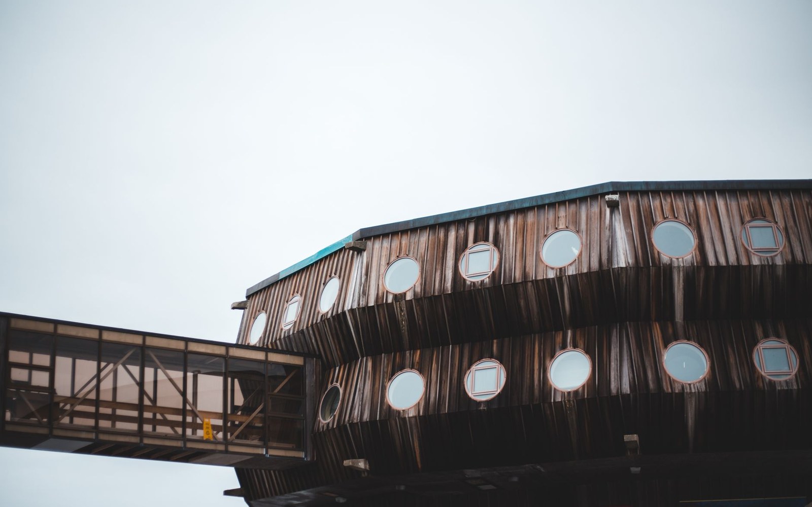
At Les Arcs the fittings were designed to the altitude, not carried up to it.
Photo: Erik Mclean / Pexels
What the government announced in 1964 as the Plan Neige — literally the Snow Plan — was a policy of deliberate economic geography. The state would identify sites, commission infrastructure and direct investment toward altitude-first resort construction. The logic was inversion: not a village that acquired lifts, but a lift network and bed base built where the snow was deepest and most reliable, with a village, of a kind, assembled around them.
Altitude as Policy
The sites selected under and immediately after Plan Neige share a defining characteristic: they sit high. Val Thorens, developed through the 1970s as the culmination of the Belleville valley's resort chain, was built at 2,300 metres — a figure that represents not ambition but calculation. At that elevation, the snow season extends reliably from November into May. The capital cost of building at altitude is higher; the infrastructure required is more demanding; the construction season is short. The plan accepted all of this because the alternative — a lower-altitude resort with an unreliable snow season — was not an asset worth the public investment.
La Plagne, developed from 1961 with state backing and expanded through the Plan Neige years, was built at around 2,000 metres in the Tarentaise, without a prior settlement of consequence at that elevation. Les Arcs, begun in 1968 with the intervention of Charlotte Perriand as the architectural conscience of its interior design, climbs through four distinct altitude levels on the slope above Bourg-Saint-Maurice, none of them historic villages. Tignes — the new Tignes, since the original village had been submerged by the Chevril reservoir in 1952 — operates across a range that reaches the Grande Motte glacier and remains skiable into summer. In each case, the geography came first and the habitation followed.
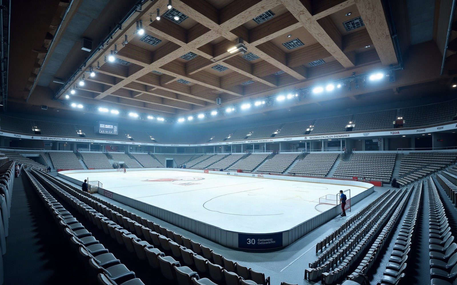
An Olympic rink after the event. The ledger is what the Tarentaise kept.
This sequence was the plan's essential novelty and its most contested feature. The purpose-built resort, the station intégrée (integrated station), concentrated sleeping capacity, lift access, supply logistics and ski terrain within a single developed envelope. It eliminated the dead kilometres between a valley village and the snowline, kilometres that in a traditional resort consumed lift time, road infrastructure and the economic energy of skiers who might otherwise spend their money at altitude. The Institut Géographique National (IGN) ↗ provided the cartographic and topographic data that underpinned site selection; the engineering firms that followed worked from surveys that were, by the standards of French civil infrastructure of the period, unusually systematic.
The Built Consequences
The financial mechanism behind Plan Neige drew on the Commissariat Général du Plan, the state planning body that had directed French economic reconstruction since 1946. Tourism was classified as an export industry: a skier arriving from Germany or Britain and spending a fortnight at altitude was, in the national accounts, a source of foreign exchange equivalent to any manufactured export. This reframing was not rhetorical. It unlocked investment channels and subsidised loan structures that would not otherwise have been available to mountain commune development.
The bed numbers that resulted are the clearest measure of the plan's ambition. The grandes stations — the large purpose-built resorts — were designed around tens of thousands of tourist beds per site rather than hundreds. The lifts serving them were engineered for throughput: téléphériques and high-capacity gondolas rather than the drag-lifts adequate for a small slope above a village. Road access was built or upgraded to carry the traffic volumes implied by these bed counts; in some cases, road engineering preceded the resort itself, as a precondition of the site's viability.
Key concept
| Station intégrée — integrated station | a purpose-built resort enclosing beds, lifts, supply logistics and ski terrain in a single developed envelope, with no prior village as its nucleus |
|---|
The École du Ski Français, founded in 1945 and already operating a standardised instructor certification, expanded rapidly through the Plan Neige decade. The resorts required instructors in quantities that the pre-existing network could not supply, and the ESF's national structure was the mechanism through which certified staff were deployed at scale. This relationship between state-endorsed certification and state-built resort infrastructure was not incidental — it was part of the integrated model.
The environmental and social costs of the model accumulated more slowly than its economic returns. High-altitude construction on slopes above 2,000 metres meant earthworks in terrain where natural recovery from disturbance is slow. The clearing required for piste — ski run — networks, and the drainage and compaction that followed, produced documented problems with soil stability and snowmelt patterns. The Parc national de la Vanoise ↗, created in 1963, drew a boundary that the Plan Neige sites respected, but the boundary was contested: a 1970 proposal to build a téléphérique linking Val d'Isère with the Vanoise core zone was rejected only after significant political resistance from conservation interests.
What the Plan Made Permanent
Plan Neige's most durable consequence is architectural in the broadest sense: it fixed the pattern of the French winter sports economy for the following half-century. The grandes stations account for a disproportionate share of French ski capacity, bed nights and foreign tourism revenue. Their infrastructure — the road grades, the lift terminals, the artificial snow systems installed from the 1980s onward as natural snowfall became less reliable — is maintained and extended by successor investment, both private and from the communes. The state has withdrawn from direct ownership but the physical logic of what it commissioned in 1964 remains: a winter industry built at altitude, designed for scale, and dependent on infrastructure that no organic village growth could have produced.
The plan is sometimes read as a story about skiing. It is more accurately read as a story about the French state's conviction, in the early 1960s, that terrain is not an asset until infrastructure makes it one — and its willingness to spend public capital on the proof.
Chronology
- 1946Commissariat Général du Plan established to direct postwar French economic reconstruction
- 1952Original Tignes village submerged by Chevril reservoir
- 1961La Plagne development begins with state backing
- 1963Parc national de la Vanoise created, setting a boundary around potential resort development
- 1964Plan Neige formally launched as national economic policy
- 1968Les Arcs begun; Charlotte Perriand engaged for interior design
- 1970Proposal for Val d'Isère–Vanoise téléphérique link rejected
- ·Val Thorens developed through the 1970s, ultimately at 2,300 m elevation