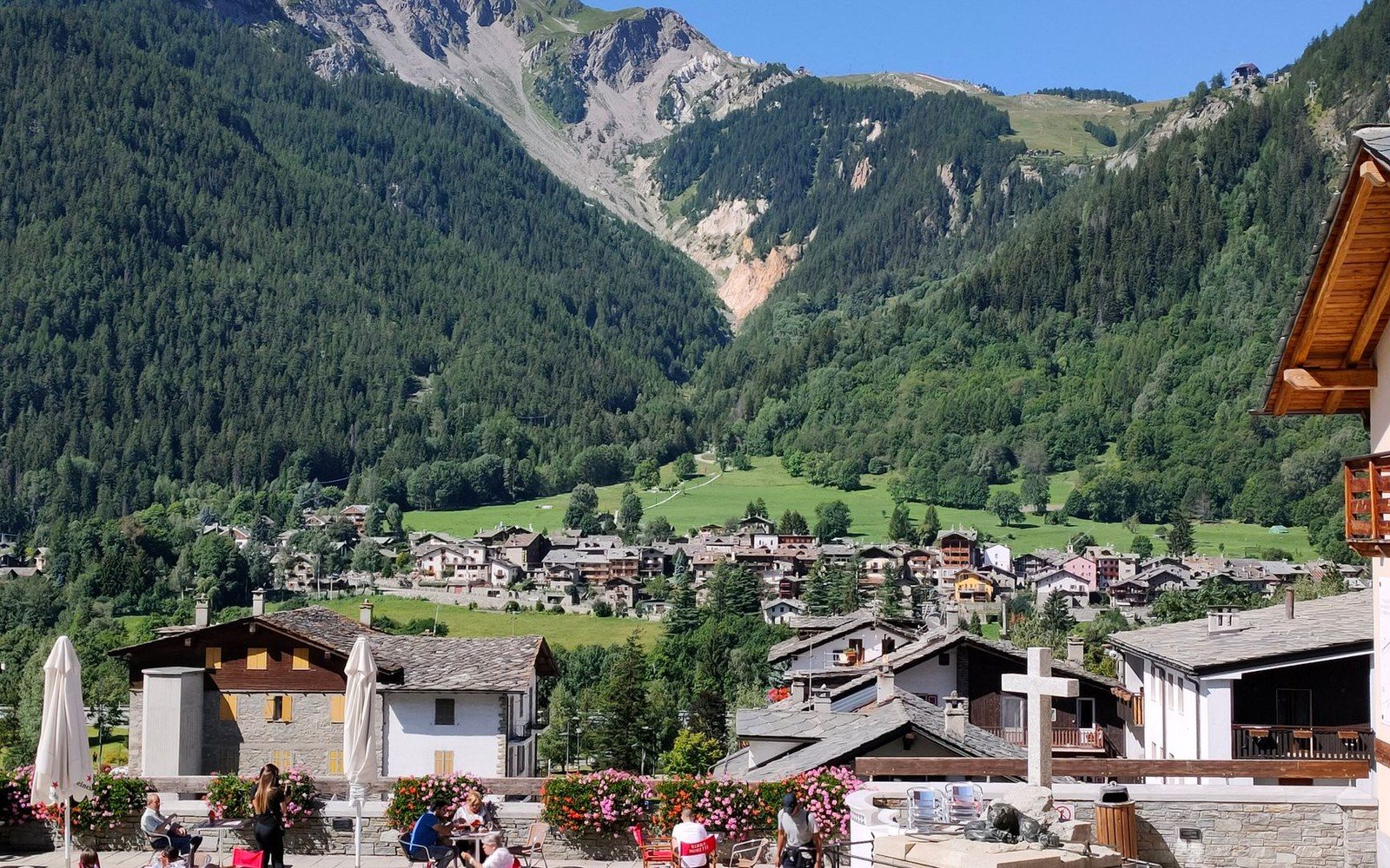
Albiez-Montrond on its south-facing shoulder, the valley floor a long way under it.
Photo: tatom live / Pexels
Albiez-Montrond: Nine Tenths Vertical
A village on the south-facing shoulder of the Maurienne that sits close enough to the valley floor to see it — and far enough above to understand it.
Reading the Valley from the Shelf
Albiez-Montrond occupies a terrace on the south-facing wall of the Maurienne at roughly 1,500 metres, according to Institut Géographique National survey data — a position that places it roughly 950 metres above the valley floor at Saint-Jean-de-Maurienne. The climb from the valley road is short in horizontal distance and nearly vertical in character: the road gains altitude through a compressed sequence of switchbacks, each one revealing another section of the Arc's trough below. By the time the village appears, the valley has become a diagram.
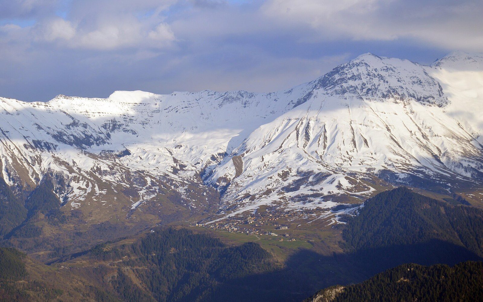
Stone base, timber frame, lauze above: three answers to the same snowload.
Photo: View of Albiez-Montrond from La Toussuire, 2023 · Wikimedia Commons
What the terrace actually shows is worth naming. To the east, the Col du Télégraphe carries its road up through the forest toward the ridge before the long descent to Valloire and the approach to the Galibier. Both passes are visible in the right conditions as notches in the skyline, the rock lightening where the road cuts through. The Col de la Croix de Fer lies to the northwest, its approach leaving Saint-Jean-de-Maurienne on a route that climbs the opposing wall — visible from Albiez as a pale thread ascending the far slope. The Arc runs below all of it, the deepest valley in the Alps by some measures, its floor compressed between walls that rise in both directions past two thousand metres.
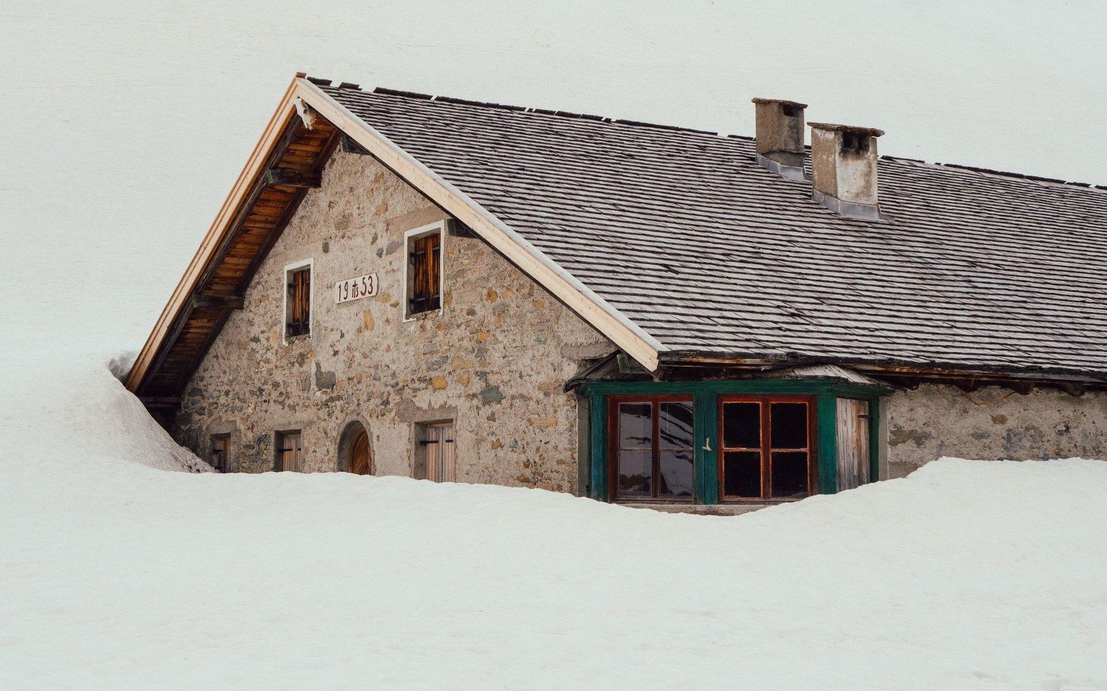
Lauze — split schist laid in courses — is what carries the snowload on an Albiez roof.
Photo: Bruno Kraler / Pexels
The village itself is small and working. Stone buildings, some roofed with lauze — the flat local slate — line a handful of lanes. The south-facing aspect gives it a solar geometry unusual for this latitude: winter sun reaches the terrace when the valley floor beneath is already in shadow, a fact the seasonal economy here has always exploited. The alpage above the village extends to higher ground still, used under transhumance patterns that predate the road.
What the site takes from this location is its frame of reference: a village close enough to the valley infrastructure to be part of it, high enough above to see the Maurienne whole. The passes, the road cuts, the river line — from Albiez-Montrond, they resolve into a single legible landscape.
Key elevations
| Albiez-Montrond village | approximately 1,500 m (IGN) |
|---|---|
| Maurienne valley floor at Saint-Jean-de-Maurienne | approximately 550 m |
| Vertical gain, valley to village | approximately 1,200 m in short horizontal distance |